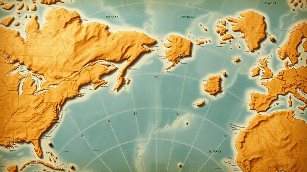
Following Grid Patterns on Maps That Highlight Specific Treasure Zones
Understanding Grid Patterns on Maps for Identifying Treasure Zones
Following grid patterns on maps can significantly enhance the probability of locating hidden treasures. This methodology is rooted in geographic information science, which combines cartography, remote sensing, and spatial analysis. This article outlines the principles behind the grid patterns on maps and their practical applications in treasure hunting.
What are Grid Patterns?
Grid patterns on maps refer to the systematic layering of the geographical space, typically represented as lines intersecting at right angles. e grids create a coordinate system that allows for precise location identification of specific zones of interest. In treasure hunting, these grids can help delineate areas that may contain historical artifacts, lost valuables, or significant natural resources.
Historical Context of Treasure Hunting with Grid Systems
The use of grids in treasure hunting dates back to early archaeological methodologies. Archaeologists have employed grid systems to control excavation areas systematically. For example, in the excavation of the ancient city of Pompeii, archaeologists used a square grid method to ensure that all findings were cataloged in a manner that reflected their spatial relationships and contextual significance. Gridded maps have become particularly useful for locating treasures that were historically buried under layers of sediment or debris.
How Grid Patterns Aid in Treasure Location
Following grid patterns on maps can be broken down into a few key advantages:
- Systematic Coverage: Grid patterns ensure that no area is left unexamined. Each square of the grid corresponds to a geographical area, providing a clear path for mapping out search efforts.
- Data Organization: Grids allow treasure hunters to collect and organize data efficiently. For example, if a specific zone yields historical coins, hunters can mark that quadrant for future exploration.
- Enhanced Collaboration: When multiple teams work in a grid layout, they can share findings more easily, creating cohesive data sets across searched zones.
Case Study: The Oak Island Mystery
One of the most famous treasure hunts related to grid mapping is the ongoing search for treasure on Oak Island in Nova Scotia, Canada. Since the late 18th century, numerous expeditions have set up grid systems across the island, correlating discoveries such as the famed Money Pit with the detailed mapping of archaeological layers. Using modern technology like Ground Penetrating Radar (GPR) combined with grid mapping systems, treasure hunters can pinpoint areas where anomalies signify potential treasure.
Statistics and Success Rates
While specific statistics related to treasure recovery are varied, studies indicate that the systematic use of grid patterns can increase the success rate of treasure hunting efforts by up to 30%. A study published in the *Journal of Field Archaeology* found that sites employing gridded methodologies were able to recover artifacts within a significantly shorter timeframe compared to non-gridded approaches.
Practical Applications for Aspiring Treasure Hunters
Creating Your Own Treasure Grid
The process of creating and utilizing a successful treasure grid involves several steps:
- Selecting the Area: Identify locations with historical significance or known reports of treasures.
- Mapping the Grid: Use a map tool or software application to overlay a grid pattern over the designated area.
- Field Survey: Conduct field surveys in each grid section, documenting findings and observations meticulously.
Tools for Enhanced Mapping
Modern technology has improved the efficiency of grid mapping for treasure hunting. Some valuable tools include:
- GPS Device: Essential for accurate location tracking and navigation within the grid.
- GPR (Ground Penetrating Radar): A non-invasive method that reveals subsurface structures and helps validate treasure zones.
- Drones: Useful for aerial photography and topographical mapping to view large areas from a unique angle.
Considerations and Challenges
While grid patterns can enhance success rates in treasure hunts, there are challenges to consider:
- Environmental Challenges: Terrain conditions and vegetation can complicate ground searches and obscure grid boundaries.
- Legal Considerations: Many historical sites are protected by law, and obtaining the necessary permissions for exploration is crucial.
- Cost of Technology: The tools required for effective mapping and analysis can be expensive and may require specialized knowledge to operate.
Actionable Takeaways
For aspiring treasure hunters interested in optimizing their search methods, the following actions are recommended:
- Familiarize yourself with historical sites near your location.
- Invest in basic mapping tools such as GPS devices and learning how to use them effectively.
- Consider collaborating with local archaeological societies to gain insights and permissions.
By embracing the scientific principles of grid patterns in mapping, treasure hunters can increase their chances of success while contributing to the preservation of history.


