Leveraging Geological Maps from USGS to Pinpoint Ancient Fossil Layers
Leveraging Geological Maps from USGS to Pinpoint Ancient Fossil Layers
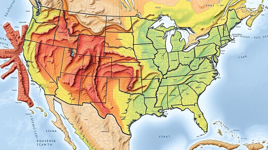
The understanding of Earths geological history is crucial for deciphering the timeline of life, including the evolution of ancient species. Geological maps produced by the United States Geological Survey (USGS) represent indispensable tools in paleontological studies, primarily through their ability to indicate the locations of sedimentary rock formations rich in fossil evidence. This article discusses the methodologies and applications of leveraging USGS geological maps for pinpointing ancient fossil layers, supported by historical contexts, statistical data, and case studies.
The Importance of Geological Maps
Geological maps provide detailed information about the distribution, nature, and age of rock formations. USGS has been producing these maps for over 140 years, with a focus on understanding tectonic activity, sediment deposition, and earth materials. Geological maps are vital for paleontologists as they allow for the identification of sedimentary layers where fossils are more likely to be found. For example, sedimentary rocks such as shale, sandstone, and limestone are often the hosts for fossil records because they are formed in environments conducive to fossil preservation.
Historical Context and Case Studies
One illustrative case is the discovery of the famous Burgess Shale in Canada, which has revealed a diversity of Cambrian-period fossils. Researchers utilized geological maps to determine the stratas composition and age, identifying the right locations for fossil extraction. A study by Conway Morris (2018) emphasized that understanding the geological context of the area was crucial for locating the fossil-rich layers.
- Burgess Shale: Discovered in 1909, it is renowned for its well-preserved soft-bodied organisms.
- Hells Creek Formation: Located in Montana, it is famed for its Late Cretaceous fossils, including dinosaurs like Tyrannosaurus rex.
Methodologies for Utilizing USGS Mapping Resources
Researchers employ several methodologies to leverage USGS geological maps effectively:
- Geospatial Analysis: Using Geographic Information System (GIS) tools, paleontologists can analyze geological maps to identify outcroppings that may contain fossiliferous layers.
- Stratigraphic Correlation: By comparing geological units across different regions, scientists can predict potential fossil layers based on known correlations.
For example, Paleontologists often examine the Hell Creek Formation using USGS maps to correlate layers over vast areas, leading to significant fossil discoveries throughout the region.
Quantitative Evidence of Fossil Locations
According to a survey conducted by USGS, approximately 75% of fossil discoveries in the western United States can be traced back to specific geological maps and stratigraphic contexts. This statistic highlights the efficacy of geological mapping in targeting fossil-rich deposits. For example, the Late Jurassic Morrison Formation, famous for its dinosaur fossils, benefits significantly from geological mapping, where paleontologists have uncovered more than 200 individual dinosaur species since the late 1800s.
Challenges and Limitations
Despite the advantages, there are challenges associated with relying solely on geological maps. Variability in fossil preservation, terrain obscured by vegetation or urban development, and the inherent limitations of geological mapping can complicate fieldwork. Plus, geological maps might not always capture the fine-scale heterogeneity of fossil-bearing strata.
Future Directions and Technological Integration
The future of paleontological research will likely involve enhanced technological integration, such as 3D modeling and remote sensing technologies, to build a more comprehensive understanding of ancient ecosystems. USGS is actively involved in such technological advancements that can facilitate a deeper exploration of geological features. Deploying these methods alongside traditional geological maps will enhance the accuracy of pinpointing ancient fossil layers.
Conclusion
To wrap up, geological maps produced by USGS serve as foundational tools for locating ancient fossil layers. Through their comprehensive details on sedimentary rock distributions, these maps enable paleontologists to make educated guesses about fossil-rich sites. By employing various methodologies, understanding historical contexts, and addressing challenges, researchers can significantly enhance their fossil recovery efforts. Moving forward, the integration of advanced technologies with geological mapping is poised to revolutionize the study of paleontology, providing richer insights into the history of life on Earth.


