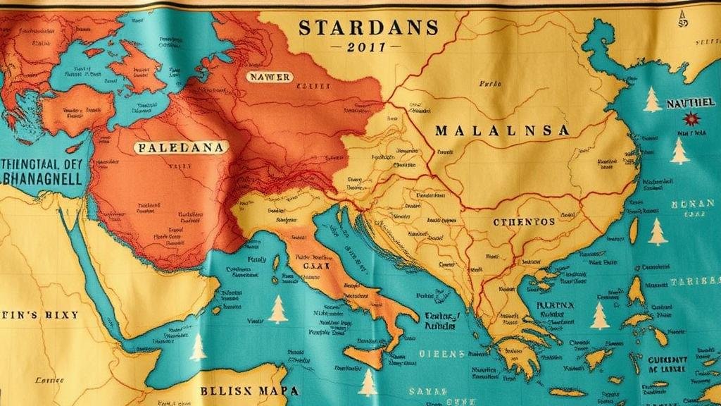
Reading Clues Hidden in Artistic Depictions on Historical Maps
Reading Clues Hidden in Artistic Depictions on Historical Maps
Historical maps serve not only as geographic references but also as artworks that reflect the social, political, and cultural contexts of their time. Many historical maps include artistic elements that can provide valuable insights into the attitudes and beliefs of the societies that created them. Understanding these clues requires a combination of cartographic knowledge and artistic analysis.
The Intersection of Art and Cartography
Maps are traditionally viewed through the lens of geography; however, they are also products of artistic endeavor. combination of imagery, symbols, and text in historical maps can be analyzed for signs of the era’s intellectual currents. For example, the elaborate engravings found on maps during the Renaissance reflect not just geographic knowledge but also the prevailing themes of exploration, power, and discovery. In many cases, these maps act as visual narratives that convey messages about dominance and ownership over territories.
Analyzing Symbolic Representations
Artistic depictions on maps often include a variety of symbolic representations that serve as clues to understanding the cartographer’s intentions. e symbols may represent trade routes, military conquests, or even mythical creatures that reflect the beliefs of the time. A classic example is the world map by Ortelius in 1570, where the Atlantic Ocean is flanked with illustrations of sea monsters, serving both aesthetic and cautionary purposes, warning sailors of the dangers that might lurk beneath the waves.
- Sea monsters symbolize the unknown dangers of ocean travel.
- Trade symbols indicate thriving commercial routes.
Plus, the choice of flora and fauna depicted on a map can provide insights into the natural resources valued by a society. For example, maps produced during the age of colonialism often illustrated exotic animals and plants from colonized regions, symbolizing the economic interests that fueled imperial expansion.
Color and Style as Contextual Elements
Color choices and artistic styles also convey significant meaning in historical maps. use of vibrant colors might indicate the importance of a particular region, while muted tones could suggest neglect or reduced significance. For example, maps depicting the Spanish Empire often used rich gold and red hues, representing wealth and power, whereas maps of lesser colonies may appear in duller colors.
The illustrative style–be it Baroque with its ornate details or the simplicity of a minimalist approach–can also indicate the period in which the map was created. Analyzing these stylistic elements helps researchers understand the cultural and historical milieu surrounding the maps production.
Case Study: The Ebstorf Map
The Ebstorf Map, a medieval mappa mundi created in the 13th century, is a prime example of how artistic elements can be decoded for historical understanding. This circular world map features Jerusalem at its center, symbolizing the religious significance of the city during the Middle Ages. The surrounding regions are filled with illustrations that depict not only geography but also mythological and biblical scenes, unveiling the worldview of medieval Christians.
Within this map, one can observe the placement of notable events, such as Adam and Eve in the Garden of Eden and the Major Prophets. This reflects the importance of religious narratives over empirical geography in shaping medieval perceptions of the world.
Cultural Context and Interpretation
To fully understand the clues embedded in artistic depictions on maps, one must consider the cultural context of the time. For example, Renaissance maps often glorified exploration, reflecting a growing interest in humanism and the rediscovery of classical knowledge. On the other hand, maps produced during times of conflict or colonialism may reflect a more pragmatic approach aimed at asserting territorial claims.
Study of these maps allows historians to question who was educated in geography versus who produced the maps, as well as how that education shaped societal beliefs. It can illustrate the divide between the learned elite and the illiterate masses and provide clues about how information was disseminated during that era.
Conclusion: A Multi-Faceted Approach to Historical Maps
Unlocking the mysteries held within artistic depictions on historical maps requires a multi-faceted approach that combines artistry, symbolism, and contextual analysis. By interpreting these elements, historians and researchers can gain a deeper understanding of the beliefs, priorities, and narratives of past societies. In making sense of historical maps, one not only decodes geographical information but also unearths the heart of human experience at different points in history.
As you approach historical maps in your research or study, consider the following actionable takeaways:
- Examine the use of color and artistic style to determine the map’s significance.
- Analyze symbols and imagery for insights into social beliefs and priorities.
- Contextualize the map within its historical settings to appreciate its purpose.
Through these methods, the hidden clues in artistic depictions on historical maps can be revealed, contributing to a richer understanding of our shared past.


