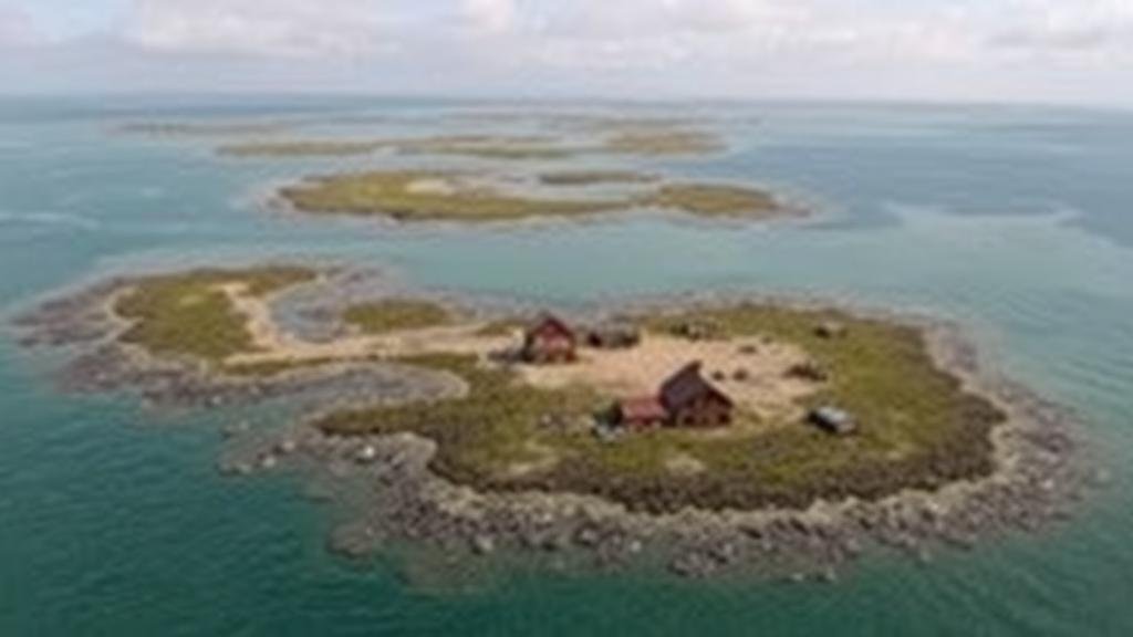
Mapping Lost Fishing Village Sites for Maritime Artifact Discoveries
Mapping Lost Fishing Village Sites for Maritime Artifact Discoveries
The exploration of lost fishing villages is a crucial aspect of maritime archaeology, offering insight into historical fishing practices, local economies, and social structures. This article examines methodologies for mapping these forgotten sites and discusses their implications for maritime artifact discoveries.
Introduction
The study of maritime archaeology, particularly the examination of lost fishing villages, has gained prominence over the past few decades. Fishing villages were vital in supporting local economies and shaping maritime practices from ancient times until the 20th century. For example, the village of New Bedford, Massachusetts, played a significant role in the whaling industry during the late 1800s, significantly impacting maritime commerce.
Historical Context and Significance
Fishing villages often evolved in coastal areas rich in resources. The evidence of their existence is typically limited to artifacts, submerged structures, and historical records. The lost fishing village of Herring Cove in Nova Scotia, Canada, once supported a thriving fishing community, but has since succumbed to rising sea levels and erosion. As climate change accelerates, the urgency to uncover these sites grows.
Methodologies for Mapping Lost Sites
The successful mapping of lost fishing villages involves a combination of historical research and modern technological tools. Key methodologies include:
- Historical Research: This involves examining archival documents, local histories, and oral histories to identify potential locations of lost villages. For example, the archives of the Massachusetts Historical Society provide valuable data on village layouts and populations over the centuries.
- Geographic Information Systems (GIS): GIS technology is pivotal for visualizing and analyzing geographical data. By overlaying historical maps with current geographical information, researchers can pinpoint where fishing villages once stood. An example is the GIS mapping of the ancient fishing village of Thunder Bay in Lake Huron, Michigan.
- Remote Sensing: Technologies such as LiDAR (Light Detection and Ranging) and sonar mapping facilitate the discovery of submerged structures. For example, sonar imaging has been used to locate underwater remnants of fishing villages on the coast of Maine.
- Field Surveys: On-site surveys and excavations allow for the recovery of artifacts that can provide insights into daily life in these villages. In 2018, archaeologists in North Carolina discovered tools and pottery fragments associated with an 18th-century fishing community.
Case Studies of Artifact Discoveries
Several notable case studies illustrate the successes achieved in mapping lost fishing village sites:
- Thunder Bay National Marine Sanctuary: This site has garnered attention due to the underwater archaeological work conducted to recover artifacts linked to historic fishing activities. Researchers uncovered fishing tools and remnants of fishing boats dating back to the late 1800s.
- The Lost Village of Glovertown: In Newfoundland, advancements in underwater archaeology have led to the discovery of fishing gear and structures. The excavation has unearthed artifacts from the mid-20th century, providing a glimpse into the village’s operational aspects before it was abandoned.
- Chesapeake Bay Fishing Villages: Studies in this region have utilized GIS technology to map the historical spread of fishing communities, discovering patterns that correlate with the local ecosystems health over the past century.
Challenges and Limitations
Despite the promise that mapping lost fishing villages holds, several challenges persist:
- Environmental Changes: Erosion and climate change are rapidly altering coastal landscapes, complicating efforts to locate and excavate these sites.
- Funding and Resources: Many of these archaeological projects are underfunded, often relying on volunteer efforts and limited grant resources.
- Regulatory Issues: The legal framework surrounding underwater archaeology can hinder efforts. Permits and regulations vary significantly by region, affecting access to sites.
Conclusion
The mapping of lost fishing village sites presents a unique opportunity to advance our understanding of maritime history and archaeology. By employing a combination of historical research, technological advancements, and field surveys, researchers can recover and preserve invaluable artifacts that reflect the social fabric and economic dynamics of historical fishing communities.
Actionable Takeaways
For researchers and practitioners interested in this field, the following steps are recommended:
- Engage with local communities to gather oral histories that might lead to new site discoveries.
- Use GIS mapping tools to visualize historical data in relation to current geographical layouts.
- Apply for grants and funding opportunities to support archaeological projects, fostering collaboration among academic institutions and local governments.
Through these strategies, the quest to uncover lost fishing village sites will continue to yield meaningful insights into maritime heritage.


