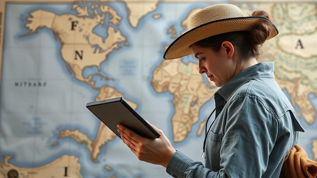
Using Technology to Recreate Historic Maps for Treasure Hunting
Using Technology to Recreate Historic Maps for Treasure Hunting
Treasure hunting has captivated the imagination of individuals and communities for centuries, drawing enthusiasts into the exploration of lost artifacts and historical remnants. The advent of technology has provided an innovative approach for treasure hunters, allowing them to recreate historic maps with precision and detail. This article explores the methodologies employed in this process and their significance in enhancing the treasure hunting experience.
The Historical Context of Treasure Hunting
The pursuit of treasure has a rich history, from the Age of Exploration in the 15th century when European explorers sought gold in the New World, to the modern-day searches for artifacts from lost civilizations. Notable historical events, such as the 1519 expedition of Hernán Cortés, which led to the discovery of vast Aztec riches, underscore the vital role maps played in guiding these expeditions.
Technological Innovations in Mapping
With the advancement of Geographic Information Systems (GIS), Remote Sensing, and Photogrammetry, the recreation of historic maps has transformed. Technologies allow researchers to layer various geographical and historical data, enabling treasure hunters to analyze potential locations with greater accuracy.
- Geographic Information Systems (GIS): GIS combines cartography, statistical analysis, and database technology to present spatial information in an interactive format. For example, ESRIs ArcGIS has been pivotal in digitizing historic land records.
- Remote Sensing: Using aerial imaging technology, remote sensing can identify changes in land use and structures over time. This method is particularly useful in locating sites of historical significance that might lead to treasure.
Case Study: The Lost Treasure of Oak Island
The Oak Island mystery, rooted in Nova Scotia, Canada, has long intrigued treasure hunters. Historians believe that the island was the site of a clandestine burial of treasure, possibly originating from the Spanish galleons or even pirate loot. Using modern mapping technologies, researchers have employed GIS to overlay old maps and historical records, revealing potential excavation sites.
According to the History Channel, the use of advanced imaging technologies on Oak Island has uncovered anomalies underground, leading to numerous excavation efforts. integration of LIDAR (Light Detection and Ranging) helps visualize the terrain, enabling treasure hunters to identify possible treasure locations with greater clarity.
Challenges in Recreating Historic Maps
While technology enhances mapping capabilities, several challenges must be addressed. The accuracy of historical data can often be questionable due to the passage of time and the varying standards of cartography used in the past. Plus, legal restrictions on excavation and preservation can complicate treasure hunts.
Applications of Historic Mapping for Treasure Hunting
The practical applications of recreating historic maps extend beyond treasure hunting; they encompass cultural preservation, archaeological research, and community engagement. By pinpointing sites of historical significance, communities can promote heritage tourism and foster local educational initiatives.
- Cultural Preservation: Recreating historic maps aids in identifying and preserving sites of cultural and historical significance, ensuring that heritage is not lost.
- Archaeological Research: Accurate mapping is essential for archaeologists in planning excavations and establishing context for findings, as evidenced by collaborative efforts in sites across Egypt and the Mediterranean.
Conclusion and Future Directions
The use of technology to recreate historic maps for treasure hunting represents a confluence of adventure and scholarship. As technological tools evolve, they promise even greater precision and insight into our historical landscapes. Future advancements may include improved AI algorithms for data analysis and enhanced user interfaces for popular mapping software.
For treasure hunters and historians alike, the integration of technology in this realm opens new avenues for discovering not only buried treasure but also the stories that lie beneath our feet. By tapping into these resources, enthusiasts can carry on the legacy of exploration, guided by the maps that chart the enigmas of our past.


