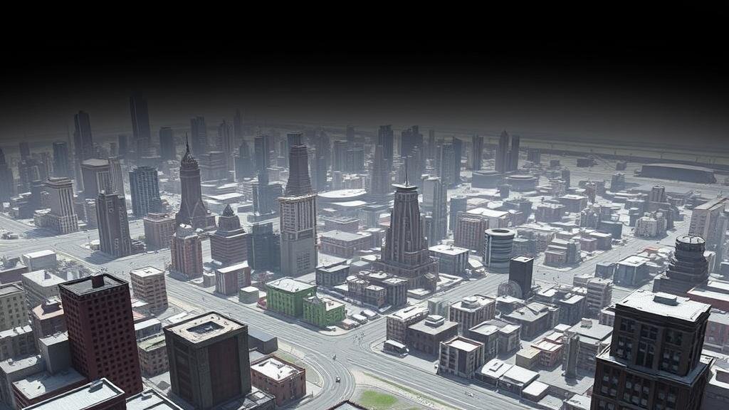
Prompting AI to Recreate Lost Urban Districts for Artifact Research
Prompting AI to Recreate Lost Urban Districts for Artifact Research
The preservation of cultural heritage has become a growing concern in urban studies, particularly as cities evolve and often erase their histories. As urban districts are lost to redevelopment, climate change, or neglect, the physical manifestations of local culture disappear. But, advancements in artificial intelligence (AI) provide new avenues for researchers seeking to understand and recreate these lost urban landscapes for artifact research. This article explores methodologies for employing AI in this context, discussing the implications for historical accuracy, the benefits of data reconstruction, and case studies showcasing successful implementations.
The Role of AI in Urban Archaeology
AI technologies, particularly in the realm of machine learning and natural language processing, can be employed to analyze historical data and simulate the environments of lost urban districts. Researchers can utilize a combination of geospatial data, archival photographs, historical documents, and local narratives to reconstruct these districts digitally. This process yields several benefits:
- Enhanced visualization of lost environments, allowing for deeper engagement with urban history.
- Facilitation of artifact research, enabling scholars to contextualize and compare findings within their historical settings.
- Increased accessibility to historical data through interactive platforms that can engage both academics and the public.
Methodologies for AI Prompting
The methodologies for prompting AI to recreate lost urban districts can be characterized as follows:
- Data Collection: This involves gathering relevant historical data from a variety of sources. For example, the Sanborn Fire Insurance Maps provide intricate details about urban layouts in the United States dating back to the late 19th and early 20th centuries.
- Data Integration: AI models can integrate heterogeneous datasets, such as photographs, maps, and demographic statistics. The incorporation of tools like GIS (Geographic Information Systems) allows for the analysis of spatial relationships between various urban features.
- Model Training: Using deep learning algorithms, AI can be trained with labeled datasets to recognize patterns and generate reconstructions that closely mirror historical realities. For example, the Generative Adversarial Networks (GANs) can be employed to synthesize realistic images of lost urban areas.
Case Studies
Several distinct case studies illustrate the effective implementation of AI in recreating lost urban districts:
The Lost City of Dürres, Albania
In 2018, a collaborative research project aimed at digitally reconstructing the ancient city of Dürres utilized AI technologies to synthesize missing portions of the urban landscape. Through the application of historical texts and archaeological data, researchers were able to create a 3D model that accurately depicted the city as it appeared in antiquity, providing visual reconstructions for academic analysis and public education. This project highlighted the potential for engaging the broader community in discussions of urban heritage.
Detroits Historic Corktown Area
Another notable example is the reconstruction of Detroits Corktown area, which faced significant changes due to urban development. Using archived photographs and existing city plans, researchers from the University of Michigan were able to utilize AI to digitize and recreate the streetscape as it existed in the early 1900s. This endeavor not only served an academic purpose but also acted as a catalyst for local interest in historical preservation efforts and informed stakeholders about the area’s heritage.
Challenges and Ethical Considerations
While the application of AI presents exciting opportunities in this field, it is essential to recognize the challenges and ethical considerations involved:
- Historical Accuracy: There is a risk that AI-generated reconstructions may not accurately reflect historical data due to limitations in datasets or biases inherent in the models.
- Representation: It is crucial to ensure that the reconstruction of lost districts is inclusive, representing the diverse communities that historically inhabited these areas.
- Intellectual Property: Issues related to copyright and ownership of historical data can complicate collaborative efforts in research.
Conclusion
Prompting AI to recreate lost urban districts stands at the intersection of technology and heritage research, opening new pathways for understanding and preserving the culture of urban environments. By integrating diverse datasets and employing innovative AI methods, researchers can generate valuable insights into the history and identity of lost districts. As advancements continue, it is crucial to navigate the ethical terrain of AI applications thoughtfully, ensuring that efforts to restore historical narratives are inclusive and accurate. Engaging communities in these digital reconstructions also reinforces the value of collective memory, allowing cities to learn from their past as they move forward into the future.
Actionable Takeaways
- Explore local archives and historical societies to gather data for AI projects focused on urban districts.
- Consider the ethical implications of AI reconstructive projects in urban heritage studies.
- Engage public stakeholders and communities in the research process to foster interest in historical preservation.


