Decoding Maps That Use Hidden Layers to Mask Treasure Locations
Decoding Maps That Use Hidden Layers to Mask Treasure Locations
The allure of treasure hunting captivates many, drawing adventurers and history enthusiasts alike. But, the pursuit of buried riches often involves navigating complex maps, some of which incorporate hidden layers designed to obfuscate true locations. This article explores the intriguing world of these layered maps, their historical significance, decoding techniques, and their real-world applications.
Understanding Hidden Layers in Treasure Maps
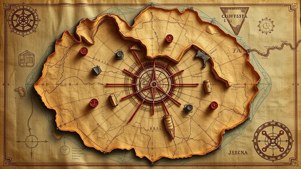
Hidden layers in maps serve as cryptic elements that conceal the true location of treasures. e layers can take many forms, including overlays of geographical features, alterations in cartographic symbols, or even codes embedded within the map’s design. A classic example is the use of magnetic compass directions, where the actual treasure coordinates are subtly shifted to lead seekers astray.
Historical Context and Examples
Throughout history, treasure maps have often utilized hidden layers to both protect and obscure valuable assets. The infamous D.B. Cooper treasure hunt is a modern case where rogue adventurers debated the legitimacy of various maps that allegedly hinted at hidden cash. During the 18th century, pirates regularly employed false landmarks and misleading symbols in cartographic representations to divert attention from their treasure locations.
- The Oak Island Mystery: This legendary tale of buried treasure off the coast of Nova Scotia features layers of misleading artifacts and historical references that have perplexed treasure hunters for centuries.
- The Beale Ciphers: These are a set of three cipher texts that purportedly reveal the location of a hidden treasure worth millions. The encoded nature of the maps adds an additional layer of challenge for cryptographers and treasure seekers.
Decoding Techniques: How to Unravel Hidden Layers
Decoding maps with hidden layers involves various techniques that can blend traditional cartography with modern technology. Here are key approaches:
- Layer Analysis: Use geographical information systems (GIS) to overlay multiple versions of the map. This method can reveal inconsistencies or hidden paths that may point towards the treasure.
- Symbol Interpretation: Understanding the various symbols used in the map is crucial. Many maps employ symbols with dual meanings, and resources like the American Congress on Surveying and Mapping can offer guidance on interpreting these effectively.
- Digital Imaging: Advanced imaging techniques such as multispectral analysis and infrared photography can uncover invisible ink or alterations made to documents, revealing layers that the naked eye cannot see.
Real-World Applications of Decoding Techniques
The techniques used to decode treasure maps have real-world applications beyond mere treasure hunting. can assist in fields such as archaeology, urban planning, and environmental studies. For example, archaeologists have successfully used layer analysis to unearth hidden sites by analyzing historical maps and integrating that data with current geographical layouts.
Potential Challenges in Decoding Maps
Despite the exciting possibilities, decoding maps with hidden layers is not without challenges. One significant concern is the preservation of historical integrity. As layers are analyzed and extracted, it is crucial to maintain the original maps context. Experts recommend working under the guidance of trained professionals who understand both historical documentation and modern decoding technologies.
Actionable Takeaways
For those intrigued by the world of hidden layers in maps, several key takeaways can enhance your treasure-hunting experience:
- Research historical mapping techniques and understand the context of the map you are working with.
- Employ technology such as GIS and digital image analysis to reveal hidden elements.
- Collaborate with experts in cartography and archaeology for more effective decoding.
As the fascination with treasure hunting and the stories behind these hidden layers continue to thrive, so too does the innovative approach to decoding the secrets these maps hold. By leveraging historical knowledge and modern technology, enthusiasts can enhance their treasure-seeking adventures–transforming uncertainty into informed exploration.


