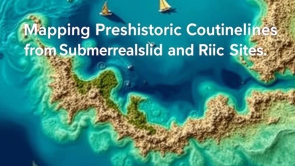
Mapping Prehistoric Coastlines for Submerged Fossil and Relic Sites
Mapping Prehistoric Coastlines for Submerged Fossil and Relic Sites
The study of prehistoric coastlines is an essential field in archaeology, geology, and paleontology, as it provides crucial insights into human prehistory and the environmental changes that have occurred over millennia. This article explores methodologies employed to map submerged prehistoric coastlines and their significance in locating fossil and relic sites. It also highlights specific case studies that illustrate the impact of coastline mapping on our understanding of ancient populations and ecosystems.
Understanding Prehistoric Coastlines
Prehistoric coastlines refer to the shorelines that existed before significant geological changes altered their positions or submerged them underwater. e shifts have primarily been driven by rising sea levels at the end of the last Ice Age, approximately 10,000 years ago, resulting in what is known as the Holocene transgression.
As sea levels rose, areas that were once rich in terrestrial life and human activity became submerged, obscured from direct archaeological exploration. Mapping these prehistoric coastlines is crucial as it can lead to the discovery of settlements, tools, and other artifacts that offer insights into early human behavior, diet, and societal structure.
Methodologies for Mapping Submerged Coastlines
There are several methodologies employed in the mapping of prehistoric coastlines. These methodologies integrate technology, historical data, and geological surveying techniques. Some prominent methods include:
- Bathymetric Mapping: This technique utilizes sonar technology to produce detailed maps of underwater topography. Surveys like those conducted in the North Sea have revealed submerged landscapes that are believed to have supported prehistoric human activity.
- Lidar Technology: Airborne Lidar (Light Detection and Ranging) has been increasingly used to penetrate vegetation cover on land, and similar techniques can be adapted for underwater terrain mapping, allowing researchers to visualize ancient shorelines.
- Geological Core Sampling: Core samples taken from seabeds can reveal sediment layers that preserve evidence of ancient land surfaces and ecosystems. For example, cores taken off the coast of Dogger Bank have uncovered artifacts dating back to the Mesolithic period.
The Significance of Coastal Mapping
Mapping submerged coastlines holds significance not only for archaeology but also for understanding climate change and coastal management. For example, research along the continental shelf of the southeastern United States has revealed numerous submerged sites containing prehistoric artifacts, leading to broader discussions around climate resilience and the management of cultural resources.
Also, in regions like the Doggerland between Britain and mainland Europe, studies have suggested that nearly 8,000 years ago, this area was a thriving human habitat now submerged by the North Sea. The artifacts recovered include flint tools and evidence of domesticated animals, indicating complex societies.
Contemporary Applications and Implications
The integration of modern technology into the mapping of submerged coastlines has opened new avenues for research and conservation. The use of Geographic Information Systems (GIS) allows researchers to model predictive landscapes of submerged coastlines, which aids in identifying potential archaeological sites.
Plus, these methodologies have practical implications for contemporary coastal management and the protection of cultural resources. Areas that are identified as rich in historical artifacts require heightened protection from industrial activities, dredging, and urban developments.
Challenges in Mapping Prehistoric Coastlines
Despite advancements in technology, several challenges persist in mapping prehistoric coastlines:
- Environmental Factors: Strong currents and shifting sediments can obscure or damage archaeological sites.
- Technological Limitations: Certain technologies may not achieve the required precision in some deep-water explorations.
- Data Integration: Combining data from various methods can be complex, requiring interdisciplinary collaboration among geologists, archaeologists, and oceanographers.
Conclusion
To wrap up, mapping prehistoric coastlines is pivotal in uncovering the mysteries of ancient human civilizations and their adaptations to changing environments. By employing advanced technological methodologies, researchers can identify and preserve submerged archaeological sites for future study. The intersection of archaeology, technology, and environmental science not only enriches our understanding of human history but also provides critical insights into managing our current coastal landscapes effectively.
As research continues to evolve, there remains significant potential for uncovering new findings that will shape our understanding of prehistoric human behavior and environmental interactions.


