Following Linear Symbols on Maps That Trace Early Treasure Routes
Following Linear Symbols on Maps That Trace Early Treasure Routes
The allure of treasure maps has captured the imagination of adventurers and historians alike for centuries. These artifacts not only represent pathways to potentially lucrative finds but also reveal insights into historical trade routes, exploration patterns, and even cultural exchanges that occurred during the maps era. One critical aspect of these maps is the use of linear symbols, which often denote routes that led to treasures. In this article, we delve into the significance of these linear symbols, explore notable historical examples, and examine how they guide modern treasure hunters in their quests.
The Importance of Linear Symbols in Historical Mapping
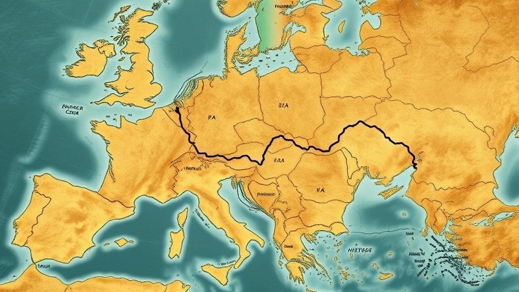
Linear symbols serve as a foundational aspect in cartographic representations, particularly in maps that trace early treasure routes. These symbols often illustrate various forms of travel pathways, such as roads, rivers, or trade routes, and can take on numerous forms including dashed lines, solid lines, or distinct colors. Understanding these symbols is crucial for interpreting the map correctly.
For example, in medieval European maps, a solid line might indicate a well-known road used frequently by merchants, while a dashed line could represent an infrequently traveled route. This differentiation informs historians about the economic and social dynamics of the time. According to the Journal of Historical Geography, the interpretation of these lines can reveal patterns of trade that significantly impacted the economy of regions during the Middle Ages.
Historical maps like the “Mappa Mundi” from the 13th century and the “Vinland Map” have garnered significant attention for their depiction of treasure routes and trade paths.
- Mappa Mundi: This medieval map illustrates the known world and indicates trade routes that likely led to treasures such as spices and silks. The linear symbols used exemplify connections between different regions and help historians trace the flow of goods.
- Vinland Map: Disputed in authenticity, this map outlines purported Viking routes to North America. lines show ocean pathways that hint at treasure locations where valuable resources like timber and furs were abundant.
These examples show how linear symbols not only aid in locating treasures but also contextually enrich our understanding of historical navigation and commerce.
Modern Implications for Treasure Hunting
In the contemporary context, the interpretation of linear symbols on historical maps continues to benefit treasure hunters. Todays adventurers rely on a combination of historical texts, digital imagery, and modern mapping technology to enhance their searches.
For example, the use of GIS (Geographic Information Systems) allows treasure hunters to overlay historical maps onto modern terrains to discern hidden routes that may still exist today. Such tools help in identifying areas that have not been explored extensively.
Also, the revival of metal detection technology has enabled treasure hunters to pinpoint locations along these linear routes that may contain buried artifacts. A notable example is the hunt for the lost Spanish treasure of the “Nuestra Señora de Atocha,” where researchers use both historical maps and modern technology to find where the ship sank off the coast of Florida.
Challenges in Interpreting Linear Symbols
While exploring the significance of linear symbols on treasure maps, one must consider the inherent challenges in their interpretation. Factors such as degradation of maps over time, differing cartographic styles, and potential misinformation can complicate understanding.
- Map Degradation: Many ancient maps have undergone physical deterioration, making it difficult to decipher symbols accurately.
- Cartographic Styles: Different cultures employed varying conventions for depicting routes; hence, skills in historical cartography are essential for accurate interpretation.
- Misinformation: Some maps may deliberately mislead treasure seekers, as seen in hoaxes involving falsely created treasure maps designed to attract explorers.
These challenges highlight the necessity of interdisciplinary approaches, blending history, archaeology, and technology to unveil the truth behind these linear symbols.
Actionable Takeaways
For those interested in following linear symbols on maps that trace early treasure routes, consider the following action steps:
- Explore historical archives or museums for access to ancient maps; understanding their context is crucial.
- Use modern technology such as GIS and remote sensing to synthesize geographical data with historical findings.
- Collaborate with historians and archaeologists to gain insights into the socio-economic conditions that may have influenced the routes mapped.
- Stay cautious of the integrity of maps; always cross-reference information from multiple credible sources.
By carefully studying these linear symbols and employing a blend of historical knowledge and modern technology, treasure seekers stand a greater chance of uncovering valuable historical treasures that have shaped our world.


