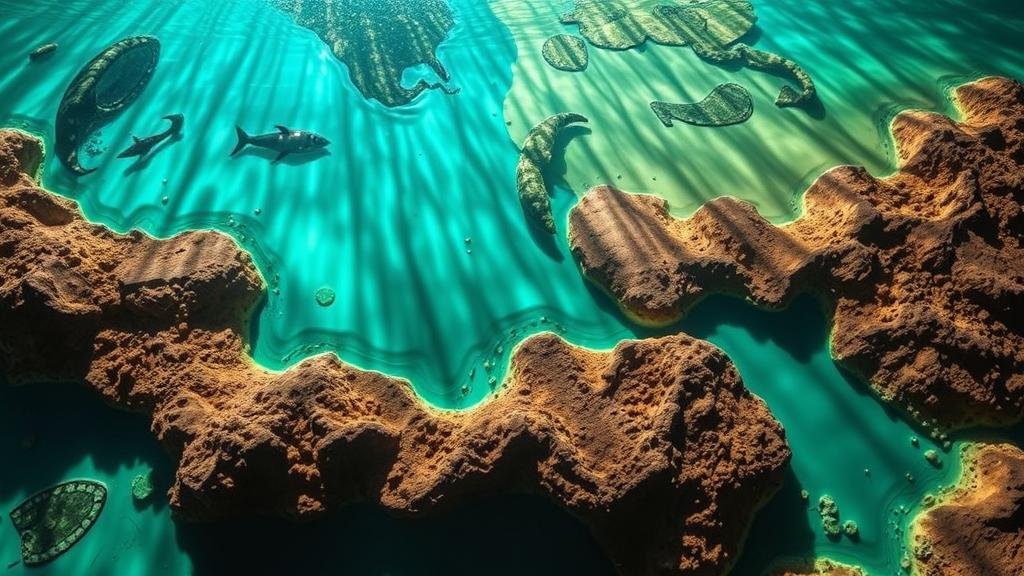
Mapping Prehistoric Lakes with USGS Resources to Locate Fossilized Aquatic Life
Mapping Prehistoric Lakes with USGS Resources to Locate Fossilized Aquatic Life
The exploration of prehistoric ecosystems has been significantly enhanced by modern technology, particularly the resources provided by the United States Geological Survey (USGS). These resources enable researchers to map ancient lakes and wetlands, offering insights into the distribution and evolution of aquatic life. This article discusses the methodologies employed in mapping these prehistoric environments, the types of data available from USGS, and the implications for paleontology and ecology.
1. Introduction to Prehistoric Aquatic Environments
Prehistoric lakes were crucial habitats for a wide variety of aquatic organisms during different geological periods. For example, the Green River Formation, located in present-day Wyoming, Utah, and Colorado, contains well-preserved fossils dating back approximately 50 million years. Understanding the spatial distribution of these ancient lakes is fundamental to studying prehistoric ecosystems.
2. USGS Resources for Mapping Prehistoric Lakes
- GIS and Remote Sensing: The USGS provides extensive Geographic Information Systems (GIS) data that allows scientists to visualize and analyze geographical patterns in relation to prehistoric aquatic habitats.
- Topographic Maps: Historical topographic maps available from the USGS can reveal the locations of ancient lakes and rivers, assisting researchers in pinpointing potential fossil sites.
- Hydrological Studies: Studies on ancient hydrology help reconstruct the water bodies dynamics, providing context for the ecosystems of that era.
3. Methodologies for Mapping Prehistoric Lakes
The mapping process typically involves several key methodologies:
- Field Surveys: Researchers conduct field surveys to identify fossil sites, collecting data on sedimentary formations that indicate previous water bodies.
- Geophysical Techniques: Techniques such as ground-penetrating radar (GPR) and seismic surveys are employed to detect buried ancient lake beds.
- Geochemical Analyses: Examining sediment samples can reveal information about past lake chemistry, which helps reconstruct the types of aquatic life that existed.
4. Case Studies of Prehistoric Lake Mapping
Several notable case studies exemplify the successful application of USGS resources in locating fossilized aquatic life:
- Lake Creataceous: Research conducted in the western United States has identified fossilized remains within the remnants of what was once a massive Cretaceous lake. Using USGS topographic data, scientists were able to map the extent of this lake and correlate it with fossil findings.
- Green River Formation: The integration of USGS sediment core data and fossil analysis has allowed researchers to understand the environmental conditions of the ancient Green River lake system, leading to significant discoveries of early fish and plant species.
5. Implications for Paleontology
Mapping prehistoric lakes using USGS data has substantial implications for paleontology. By accurately identifying the locations of ancient bodies of water, scientists can:
- Enhance Understanding of Biodiversity: By linking fossil records to specific lake environments, researchers can grasp how aquatic life evolved in relation to changing landscapes.
- Inform Conservation Efforts: Understanding historical ecosystems can provide insights that inform current conservation strategies for aquatic environments.
6. Conclusion and Future Directions
The mapping of prehistoric lakes using USGS resources is a vital component in the study of fossilized aquatic life. The integration of GIS, remote sensing, and field surveys not only advances our understanding of ancient ecosystems but also informs future research directions. By continuing to develop and utilize these resources, researchers can uncover further insights into the diversity and evolution of life on Earth.
7. Actionable Takeaways
For researchers and students interested in prehistoric ecology, the following actions can be beneficial:
- Use USGS databases for topographic and hydrological data.
- Engage in field surveys to gather first-hand information from fossil sites.
- Collaborate with interdisciplinary teams to expand the scope of fossil studies.
In summation, integrating USGS resources into the frameworks of paleontological research can significantly enhance our understanding of prehistoric aquatic ecosystems.


