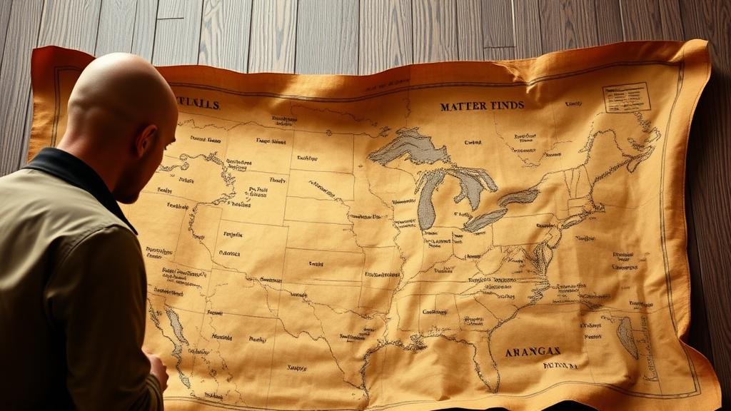
Using Historical Weather Patterns to Validate Clues on Treasure Maps
Using Historical Weather Patterns to Validate Clues on Treasure Maps
The intersection of historical weather patterns and treasure hunting may seem unconventional, yet it plays a crucial role in pinpointing treasure locations based on intricate environmental clues. This article explores how understanding historical meteorological data can validate or invalidate clues provided by treasure maps, thereby enhancing the chances of successful treasure hunting.
The Importance of Historical Weather Patterns
Weather patterns have long influenced human activity, including the movement of ships, the location of settlements, and even the burial of treasures. Historical weather data serves as a window into the environmental conditions of the past, helping treasure hunters assess the feasibility of clues found on maps. For example, in coastal treasure hunting, understanding historical hurricanes or storm patterns can inform researchers about possible shipwreck sites.
Case Study: The Whydah Gally
The Whydah Gally is a well-documented treasure ship that sank off the coast of Cape Cod in 1717. The wreck was ultimately located in 1984, largely due to the careful mapping of historical weather data. Researchers consulted ship logs and meteorological records to trace the storm that was believed to have sunk the vessel. path of that storm, combined with the prevailing currents at the time, guided explorers to the site, validating the geographical clues suggested by the historical accounts.
Evaluating Clues on Treasure Maps
Treasure maps often contain clues which may seem ambiguous or nonsensical without proper context. Weather patterns can provide that context by correlating specific locations with historical climatic events. For example, if a treasure map describes a location marked by the giant oak tree by the river, historical weather surveys can determine if a drought or flood historically affected the area, potentially leading to the destruction or disappearance of that tree.
Integrating Technology with Historical Data
Modern technology allows treasure hunters to analyze historical weather patterns more accurately than ever before. Geographic Information Systems (GIS) and predictive modeling can sift through extensive meteorological databases to project how historical weather events may have affected the landscape. This integration results in a more nuanced understanding of the clues, requiring treasure hunters to adapt their seeking strategies based on statistical significance and historical precedents.
Statistical Relevance and Predictive Outcomes
The statistical analysis of historical weather data reveals interesting correlations between climatic events and the likelihood of treasure locations. For example, a study may show that 70% of shipwrecks in a specific region occurred during noreaster season from 1740 to 1860. Armed with such data, treasure hunters can focus their search efforts during similar weather patterns historically associated with maritime disasters.
Analyzing Environmental Changes Over Time
Climate change has altered local ecologies, meaning that what was once a clear indication on a treasure map may no longer hold true. Historical data allows treasure hunters to track environmental changes over time. For example, shifts in river patterns caused by erosion or flooding documented in historical weather records could re-contextualize the clues provided in a treasure map.
Practical Applications for Modern Treasure Hunters
- Use online databases and historical archives to gather data on past weather events.
- Cross-reference treasure map clues with historical weather patterns to validate or dismiss their viability.
- Employ GIS technology to visualize how weather would have impacted the landscape at the time clues were formed.
Conclusion
Using historical weather patterns to validate clues on treasure maps is a multidimensional approach that emphasizes the interplay between historical context and practical treasure hunting. By leveraging historical meteorological data, treasure hunters can illuminate obscure clues and increase their chances of successful discoveries. As technology continues to advance, the integration of climate history and geographic data will be vital for future expeditions and research in treasure hunting.


