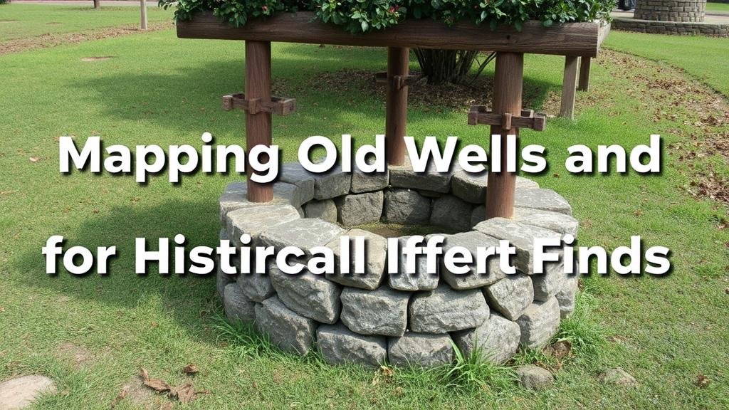
Mapping Old Wells and Cisterns for Historical Artifact Finds
Mapping Old Wells and Cisterns for Historical Artifact Finds
The practice of mapping old wells and cisterns offers a significant opportunity for uncovering historical artifacts, enhancing our understanding of past communities and cultures. With the advent of modern geographical information systems (GIS) and archaeological methodologies, this previously underutilized resource has become a focal point for researchers seeking to connect material culture to historical narratives. This article explores the importance of mapping these features, the methodologies employed, and case studies illustrating their relevance in archaeology.
The Importance of Mapping
Mapping abandoned wells and cisterns is pivotal for several reasons:
- Preservation of Cultural Heritage: Old wells and cisterns are often repositories of artifacts that offer insights into daily life and practices of historical populations.
- Spatial Analysis of Past Communities: They provide data points that contribute to the understanding of settlement patterns, resource management, and socio-economic structures.
- Environmental Indicators: These features can reveal important information about local hydrology, land use transitions, and environmental changes over time.
Methodologies for Mapping
The mapping process involves a combination of archival research, field surveys, and technological tools. following steps outline a comprehensive approach:
- Archival Research: Researchers begin by consulting historical maps, land records, and local archives to locate potential sites of interest. For example, records from the 19th century might highlight the existence of wells in urban areas of Philadelphia, PA.
- Field Surveys: Physical inspections of areas identified in the archival research are conducted to confirm the presence of wells and cisterns. This may also include sites previously unrecorded.
- Geographical Information System (GIS): Utilizing GIS technology allows for the precise mapping of these features, integrating historical and environmental data layers. For example, a GIS map created for the southeastern United States displays the locations of historical wells alongside demographics and agricultural patterns.
- Remote Sensing: Modern techniques, such as aerial photography and LiDAR, can reveal underground structures and give a broader perspective of the land through which settlers navigated. This approach was successfully utilized in discovering wells in rural areas of Georgia, revealing patterns not seen in conventional land surveys.
Case Studies
Several case studies illustrate the utility of mapping old wells and cisterns:
Case Study 1: The Old Wells of Williamsburg, Virginia
In Williamsburg, archaeologists mapped several wells from the colonial period, integrating archival records with GIS technology. They discovered that the distribution of these wells correlated with historical demographic data, revealing insights about class structure and community resource allocation in the 18th century. Findings included artifacts such as ceramics and tools, which helped piece together daily life among the colonial population.
Case Study 2: Cisterns in New Orleans, Louisiana
Research conducted in New Orleans focused on cisterns built during the 19th century to augment the citys water supply. By mapping these cisterns, researchers discovered a linked network that was essential for understanding urban planning and water management practices in a city that faced frequent flooding. This endeavor not only yielded artifacts like glass bottles and trade goods but also provided valuable data on pre-existing environmental conditions and adaptation strategies.
Challenges and Considerations
While the mapping of wells and cisterns presents numerous benefits, it also poses various challenges:
- Data Integrity: Incomplete historical records can lead to gaps in mapping efforts. Verification of sources and cross-referencing with secondary data is essential.
- Site Accessibility: Many old wells may be located on private land, necessitating permissions that can complicate archaeological efforts.
- Environmental Risks: Disturbance of historical sites can pose risks to the integrity of artifacts, necessitating careful navigational plans to mitigate impact.
Conclusion
Mapping old wells and cisterns is an invaluable tool in the field of archaeology, helping to illuminate the intricacies of historical populations and their interactions with the environment. As technology continues to advance, these practices will become even more integrated into archaeological methodologies, providing richer, more nuanced narratives of the past. As such, stakeholders must commit to preserving these sites alongside advancing our historical understanding.
Future research should focus on collaborating with local historians and communities to ensure the preservation of historical records and resources related to old wells and cisterns, maximizing both academic and community engagement.
Actionable takeaway: Archaeology departments and historical societies should incorporate GIS and remote sensing techniques into their methodologies for identifying and preserving old wells and cisterns to better understand local heritage.


