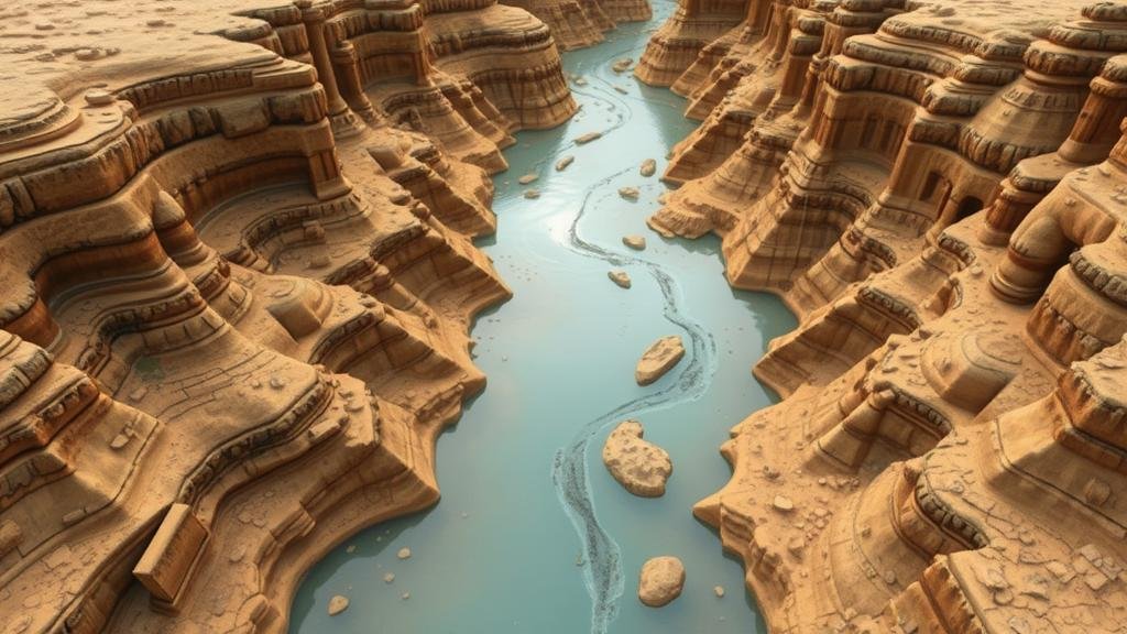
Mapping Ancient River Courses for Fossil and Relic Exploration
Mapping Ancient River Courses for Fossil and Relic Exploration
The study of ancient river courses is crucial in understanding the paleoenvironment, as well as the distribution and preservation of fossils and relics. This article addresses the methods, importance, and applications of mapping ancient river courses in the realm of paleontological exploration, demonstrating how geomorphology, sedimentology, and modern technology can aid in these endeavors.
Introduction to Ancient River Courses
Ancient river systems are not only significant geographical features; they serve as repositories of biological and archaeological history. Through the analysis of sediment deposits and the morphological features of ancient rivers, researchers can infer past ecosystems, climatic conditions, and biological evolution. Such geological features are essential for fossil exploration, where the depositional environment plays a substantial role in the preservation of organic materials.
Historical Context of River Mapping
Historically, the mapping of river courses dates back to early civilizations that relied on rivers for sustenance, commerce, and communication. For example, the Indus River Civilization (2600-1900 BCE) was deeply connected to the Indus River system, which provided fertile soil and irrigation benefits. The ancient Egyptian cultures thrived along the Nile, evidenced by the numerous artifacts recovered from its banks, which were once easy access points for trade and agriculture.
Modern methodologies for mapping ancient rivers have evolved significantly, particularly since the advent of aerial photography and satellite technology in the late 20th century. integration of Geographic Information Systems (GIS) has allowed researchers to analyze and visualize river pathways with enhanced precision.
Methodologies for Mapping
Mapping ancient river courses involves various techniques and disciplines, including geomorphology, sedimentology, and remote sensing technologies. The following methodologies exemplify effective strategies for exploration:
- Remote Sensing: Aerial imagery and satellite data provide comprehensive views of the land surface, allowing scientists to identify patterns of ancient river networks. For example, Landsat satellite imagery has been used to reveal past river systems in regions such as the Sahara Desert.
- Field Surveys: Ground-truthing through fieldwork enables researchers to collect soil and sediment samples. This methodology was effectively demonstrated by the geological explorations conducted along the banks of the Amazon River, where sediment cores revealed ancient river courses dating back thousands of years.
- Geophysical Methods: Techniques such as ground-penetrating radar (GPR) allow scientists to visualize subsurface features without excavation. This technology has been utilized effectively in locations such as the Mississippi River Valley to map ancient floodplains and their associated sediments.
Case Studies
Several well-documented case studies illustrate the successful mapping of ancient river courses and the subsequent fossil discoveries:
- The Yellow River, China: Recent studies have utilized sediment analysis and GIS to uncover ancient river channels that date back over 10,000 years. This research not only showcases the historical flow patterns but also highlights significant archaeological finds, such as pottery and tools.
- The Nile River, Egypt: Archaeological investigations along the ancient Nile have revealed sediment deposits that coincide with the periods of significant human activity. Findings from the site of Hierakonpolis unveiled over 9,000 years of human occupation and elaborate grave relics.
The Importance of Ancient River Mapping
Mapping ancient river courses holds considerable significance in multiple domains:
- Paleontology: Understanding ancient habitats enables paleontologists to predict where fossils are most likely preserved, improving fossil excavation success rates.
- Archaeology: Ancient rivers often carried artifacts, and mapping provides context for archaeological sites, shedding light on past human behaviors and societal evolution.
- Environmental Science: Research on ancient river systems helps scientists evaluate historical climate changes, informing current conservation and climate strategies.
Conclusion and Future Directions
The exploration of ancient river courses through various mapping methodologies reveals rich insights into our planet’s geologic and biological past. As technology continues to advance, the integration of artificial intelligence and machine learning into geological research will enable more sophisticated analyses, fostering a deeper understanding of ancient ecosystems.
Future research should focus on interdisciplinary approaches, combining paleontology, archaeology, and environmental science to create comprehensive narratives from ancient river systems. Such collaborative efforts will enhance our grasp of historical biodiversity and inform contemporary environmental practices.
Actionable Takeaways
- For researchers, investing in remote sensing and GIS technologies is essential for effective mapping of ancient river systems.
- Collaboration across disciplines is crucial for extracting maximum knowledge from fossil and relic exploration.
- Ongoing education and training in modern analytical methods will provide researchers with innovative tools to advance studies in this field.


