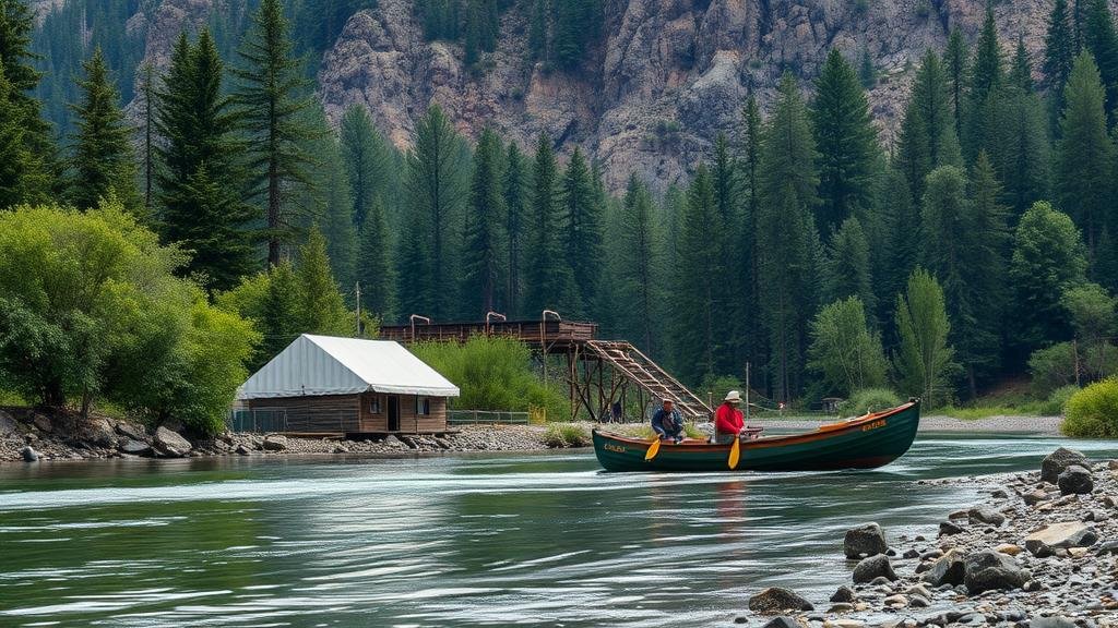
Techniques for Spotting Long-Lost Fishing Camps Along Rivers
Techniques for Spotting Long-Lost Fishing Camps Along Rivers
Fishing camps have long been integral to the recreational fishing culture, serving as hubs for anglers seeking an escape into nature. But, many historical fishing camps have faded into obscurity, often lost beneath vegetation, sediment, or evolved landscapes. This article will delve into effective techniques for spotting these long-lost fishing camps that can enrich both historical understanding and modern fishing experiences.
Understanding the Historical Context
The first step in locating long-lost fishing camps is to comprehend their historical context. Fishing camps typically emerged during particular periods, often reflecting the economic conditions and fishing practices of the time. For example, in the early 20th century, many fishing camps were established along rivers in America, catering primarily to wealthy clientele seeking leisure and sport.
Local historical records, such as maps and fishing licenses, can provide foundational information regarding where these camps were likely situated. Older topographical maps, for example, may reveal cleared areas near water bodies that have since become overgrown. By analyzing materials from local libraries or historical societies, researchers can develop a clearer picture of the past fishing culture in a given area.
Utilizing Aerial and Satellite Imagery
Advances in technology have transformed how researchers locate historical fishing camps. Aerial and satellite imagery provides unprecedented access to detailed landscapes. Tools such as Google Earth allow users to compare past and present landforms.
By examining these images, one can identify:
- Cleared areas that suggest previous human activity.
- Old dock structures or pathways leading to water.
- Evidence of campfires or debris indicating human habitation.
Also, historical aerial photographs can reveal features that have changed over time, such as riverbanks and shoreline erosion, offering clues to the locations of former camps.
Exploring Topography and Vegetation Patterns
The physical landscape contributes heavily to the identification of long-lost fishing camps. Understanding riverine topography can elucidate why certain areas were chosen for camp locations. For example:
- Flat, accessible land along the river typically enabled easier construction of facilities.
- Proximity to fishing holes or known fish migration paths increased the likelihood of camping sites.
Vegetation patterns can also provide indicators of prior camp existence. Anomalies in tree lines, such as straighter edges or gaps, might suggest past clearing for camp sites. presence of non-native plant species is another potential clue; these plants often proliferate in areas previously disturbed by human activity.
Engaging with Local Communities and Historians
Eliciting knowledge from local communities can unearth invaluable information related to long-lost fishing camps. Engaging with older residents can yield anecdotes or forgotten histories that significantly contribute to finding abandoned locations.
Also, collaboration with local historians or naturalists can enhance understanding. Historical societies often maintain archives that include photographs, articles, and personal accounts related to fishing camps. Involvement in community events or fishing-focused gatherings can facilitate connections, making the search for historical fishing sites more community-oriented.
Field Surveys and Ground Truthing
Once potential sites are hypothesized through research and analysis, the next step involves field surveys. Ground truthing involves physically investigating suspected fishing camp locations.
During field surveys, it is important to look for:
- Foundation remnants of structures such as shacks or sheds.
- Campsite litter including old fishing gear or food remnants.
- Artifacts that may be indicative of human presence, such as old bottles or cookware.
Documenting findings with GPS technology can aid in tracking multiple locations, enriching the historical narrative of local fishing culture.
Case Studies: Successful Discoveries of Long-Lost Camps
Several instances illustrate the successful application of these techniques. For example, in the mid-2000s, researchers in the Adirondack Mountains utilized a combination of historical maps and satellite imagery to locate a series of fishing camps dating back to the 1930s. By correlating their findings with oral histories from local residents, they were able to rediscover and document several sites that had been forgotten.
Another notable case involved a fishing club in the Pacific Northwest which sought to restore traditional fishing camps. By conducting surveys based on old maps and engaging with local Indigenous groups, they highlighted several camps lost to urbanization, leading to successful restoration efforts.
Actionable Takeaways
Locating long-lost fishing camps involves a multifaceted approach that combines historical context, advanced technology, community interaction, and field surveys. Here are key takeaways to consider:
- Investigate historical maps and related documents to gather initial information.
- Use aerial and satellite imagery as a modern tool for site discovery.
- Consider topographic features and vegetation patterns to identify potential sites.
- Engage with local communities for anecdotal evidence and insights.
- Conduct thorough field surveys to validate findings and gather artifacts.
The combination of these techniques not only enhances the discovery of long-lost fishing camps but also preserves and honors the rich tradition of fishing culture for future generations.


