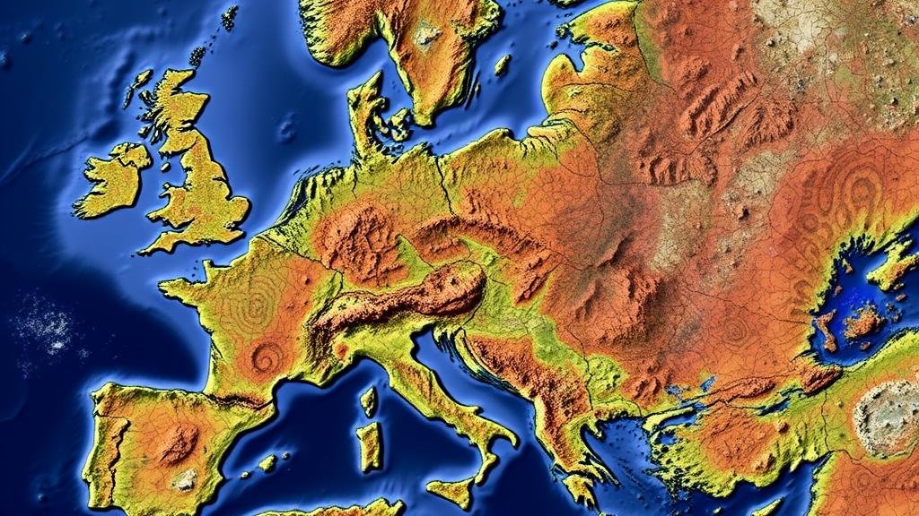
Using Satellite Imagery to Locate Potential Hard Rock Ore Deposits
Using Satellite Imagery to Locate Potential Hard Rock Ore Deposits
The advancement of remote sensing technology has opened new avenues in the exploration of hard rock ore deposits. Satellite imagery serves as a pivotal tool for geologists and mining companies, enabling them to identify potential mineral-rich areas from vast terrestrial expanses. This article examines the methodologies, benefits, and real-world applications of using satellite imagery in the location of hard rock ore deposits.
The Role of Satellite Imagery in Mineral Exploration
Satellite imagery refers to the practice of capturing images of the Earth’s surface using satellites equipped with remote sensing technology. This imagery can provide extensive coverage and valuable data regarding landforms, vegetation, and geological structures that may signify the presence of ore deposits.
The primary benefits of utilizing satellite imagery include:
- Cost Efficiency: Deploying physical survey teams for ground exploration can be expensive and time-consuming. In contrast, satellite imagery allows for a broad preliminary survey to identify promising areas.
- Accessibility: Satellite data can penetrate areas that are difficult or hazardous to reach, such as dense forests, deserts, or remote mountains.
- Temporal Data: Satellites can capture changes over time, helping scientists monitor environmental impacts and geological movements that may affect ore deposit formation.
Methodologies for Identifying Ore Deposits
Geologists employ various methodologies when analyzing satellite imagery to locate potential hard rock ore deposits. Key approaches include:
- Land Surface Mapping: High-resolution satellite images allow for the identification of geological features such as faults, fractures, and fold structures, which indicate zones of mineral deposits.
- Multispectral and Hyperspectral Imaging: These techniques capture light beyond the visible spectrum to detect specific minerals unique spectral signatures. For example, copper minerals may be identified by their distinct reflectance in near-infrared wavelengths.
- Image Processing and Analysis: Utilizing software tools to analyze satellite imagery can enhance the visibility of geological formations and aid in creating predictive models for mineral exploration.
Case Studies of Successful Applications
Several real-world applications illustrate the effectiveness of satellite imagery in ore deposit exploration:
- Western Australia: Satellite imagery played a crucial role in identifying new iron ore deposits. The use of multispectral imaging helped geologists map the unique iron oxide signatures, facilitating the accurate location of deposits.
- Kazakhstan: Remote sensing data helped pinpoint copper and uranium deposits in the region. Researchers utilized hyperspectral imaging to identify vegetation stress, indicating underlying mineralization.
Challenges and Limitations
Despite the advantages, using satellite imagery for mineral exploration comes with its challenges:
- Resolution Limitations: While high-resolution images are broadly accessible, certain mineral deposits may not be identifiable due to resolution constraints.
- Data Interpretation Complexity: Distinguishing between geological features requires expertise in geology and remote sensing, making proper training essential.
- Environmental Conditions: Cloud cover, seasonal changes, and atmospheric conditions may impact the clarity and usability of satellite images.
Actionable Takeaways
For professionals in geology and mining, integrating satellite imagery into exploration strategies can yield significant advantages. Here are key takeaways:
- Invest in advanced training for geologists to harness satellite technologies effectively.
- Use a combination of satellite data with ground-truthing methods for comprehensive exploration.
- Stay updated on advancements in remote sensing technologies to improve ore deposit detection.
To wrap up, satellite imagery has transformed the landscape of mineral exploration by providing efficient, cost-effective, and accessible tools for locating potential hard rock ore deposits. As technology continues to evolve, its application will undoubtedly expand, further revolutionizing the field of geology and mining.


