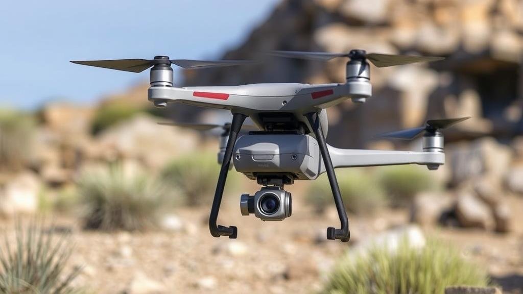
Using Drone Technology to Survey Remote Areas for Treasure and Fossils
Using Drone Technology to Survey Remote Areas for Treasure and Fossils
The advent of drone technology has revolutionized various fields, including archaeology and paleontology. In the pursuit of treasure and fossils, drones provide an innovative approach to surveying remote and difficult-to-access regions, enhancing the efficiency and safety of these investigations. This article explores the application of drone technology in surveying for treasures and fossils, discussing significant advancements, methodologies, and real-world applications.
Overview of Drone Technology
Drones, or unmanned aerial vehicles (UAVs), are aircraft that operate without a human pilot onboard. Equipped with high-resolution cameras, LiDAR (Light Detection and Ranging) technology, and advanced GPS capabilities, drones can capture detailed aerial imagery and collect extensive data across various terrains.
The advantages of using drones in surveying include:
- Cost-effectiveness: Drones eliminate the need for expensive helicopters or ground surveys.
- Accessibility: They can reach remote or hazardous areas that are otherwise challenging to survey.
- Data quality: Drones provide high-resolution images and accurate topographical data, which improves analysis.
Applications in Treasure Hunting
Treasure hunting often involves searching for historical artifacts, shipwrecks, or lost cities. Drones assist in these endeavors by mapping large areas quickly and accurately. A notable example is the use of drones in the search for the legendary sunken Spanish galleon, San José, which sank near Cartagena, Colombia, in 1708. Drones were employed to create high-resolution 3D maps of the seafloor, ultimately aiding in locating the wreckage and its treasures, currently estimated to be valued at over $17 billion.
Applications in Paleontology
In paleontology, drones are utilized to survey locations for fossil beds, providing a non-invasive method to collect data. A prime illustration is found in the discovery of dinosaur fossils in the Badlands of South Dakota. Researchers used drones to survey the vast and rugged terrain, allowing them to identify potential fossil sites based on topographical features without extensive ground excavation.
In 2020, a study by researchers at the University of Kansas highlighted the effectiveness of drones in monitoring the integrity of fossil sites. By using drones with high-resolution cameras, they successfully mapped vast expanses of terrain, identifying new fossil-rich sites that had previously gone undiscovered. This methodology not only reduces the time spent in the field but also minimizes environmental impact.
Methodologies in Data Collection
The integration of drone technology in surveying for treasures and fossils involves several key methodologies:
- Aerial Photography: Drones capture high-resolution images that provide insights into the landscape and potential areas of interest.
- LiDAR Scanning: LiDAR is used to penetrate dense vegetation, creating detailed topographical maps that reveal hidden structures and fossil beds.
- Thermal Imaging: This method helps to identify subtle changes in temperature on the ground, indicating the presence of buried artifacts or fossils.
Challenges and Limitations
Despite the numerous benefits, the application of drone technology in treasure hunting and fossil surveying presents specific challenges:
- Regulatory Hurdles: Various countries have strict regulations governing drone usage, particularly in archaeological and paleontological sites.
- Weather Dependency: Drones are susceptible to weather conditions, which can limit flying capabilities and data collection.
- Data Interpretation: The data collected requires specialized skills and software for analysis, necessitating trained personnel.
Future Directions
The future of using drone technology in treasure hunting and fossil surveying appears promising. Advancements in drone capabilities, such as improved battery life, AI integration for data analysis, and enhanced sensor technology, will likely enhance the efficacy of these surveys. Ongoing collaborations between technologists, archaeologists, and paleontologists will be crucial in developing innovative methodologies that leverage drone technology.
Conclusion
As drone technology continues to evolve, its application in surveying remote areas for treasures and fossils stands to make significant contributions to archaeological and paleontological research. By facilitating rapid data collection in hard-to-reach locations, drones reshape how researchers explore historical sites. The ongoing exploration and implementation of this technology will likely unearth new opportunities and discoveries, enhancing our understanding of history and prehistory.
Actionable Takeaways
- Consider utilizing drone technology for initial surveys before ground exploration in treasure or fossil hunting.
- Stay informed about local regulations surrounding drone usage in archaeological sites to ensure compliance.
- Engage with specialists in drone technology to develop tailored strategies for specific surveying goals.


