Spotting Hidden Placer Deposits in Overgrown Streambeds
Spotting Hidden Placer Deposits in Overgrown Streambeds
Placer deposits, which consist of valuable minerals and metals accumulated in riverbeds, offer significant opportunities for prospectors and miners. But, locating these deposits can be particularly challenging in overgrown streambeds. This article explores strategies for identifying hidden placer deposits, examining the geology, vegetation patterns, and tools necessary for effective exploration.
Understanding Placer Deposits
Placer deposits form through the natural weathering and erosion of rock formations, where particles of precious metals, such as gold, silver, and gemstones, are carried by water and deposited in lower-energy environments, like streambeds. Understanding the formation and characteristics of these deposits is crucial for efficient prospecting.
The Impact of Vegetation
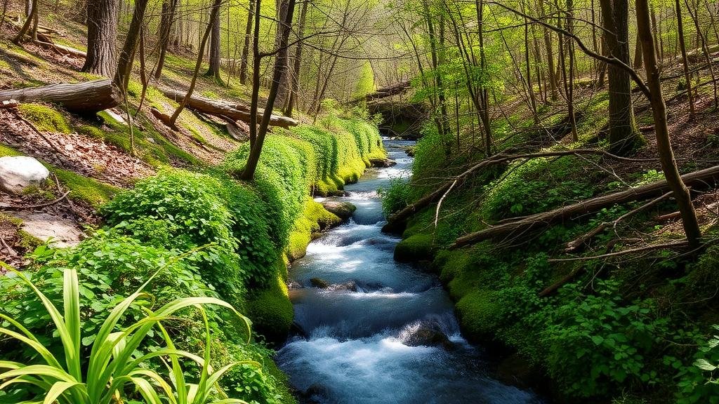
Overgrown streambeds complicate the search for placer deposits due to dense vegetation obscuring the underlying geology. But, vegetation can also offer clues about the presence of deposits. Certain plant species thrive in mineral-rich soils, which may indicate nearby placer concentrations.
- Indicator Species: Plants like willow and cottonwood often grow near water sources and can signal areas of enriched sediment.
- Vegetation Patterns: Anomalies in plant growth can suggest underlying geological features, such as gravel bars or ancient river channels that may host placer deposits.
Geological Assessments
Before conducting fieldwork in overgrown streambeds, it is essential to understand the local geology. Topographic maps, satellite imagery, and geological surveys can provide information about historical erosion patterns and sediment deposition, guiding prospectors to potential deposit locations.
For example, in the Sierra Nevada foothills of California, geological surveys have revealed numerous ancient river channels that were once the sites of significant gold deposition. By utilizing the information provided by these surveys, prospectors can focus their efforts on areas with the highest potential.
Field Techniques for Prospecting
Once potential areas are identified, specific field techniques can enhance the likelihood of discovering hidden placer deposits. Effective methodologies include:
- Panning: This traditional method involves using a shallow pan to separate heavier minerals from lighter materials in stream sediments.
- Excavating Test Pits: Carefully digging small test pits in strategic locations can provide insights into sediment composition and depth of deposits.
- Metal Detection: Employing a metal detector can aid in identifying metallic particles missed by traditional methods.
Data Analysis and Technology
Incorporating technology into placer mining has revolutionized the field. Geographic Information Systems (GIS) and remote sensing tools can analyze data more efficiently and effectively. By evaluating historical data and geological maps, prospectors can develop predictive models to identify where hidden deposits are likely to be found.
- Drone Surveys: Using drones to survey remote areas can reveal topographical features and vegetation patterns not visible from the ground.
- Soil Sampling and Analysis: Testing soil samples can help identify areas with high concentrations of gold or other precious minerals, leading to more focused digging efforts.
Real-World Applications and Case Studies
Numerous success stories highlight the importance of identifying hidden placer deposits in overgrown streambeds. For example, in Alaska, detailed geological surveys combined with advanced metal detection technology have led to the discovery of significant gold deposits in previously overlooked areas.
Similarly, prospectors in the Appalachian region have found success by integrating traditional panning methods with modern GIS technology to map areas of historical placer mining, allowing them to revisit neglected sites with enhanced understanding.
Conclusion and Actionable Takeaways
Identifying hidden placer deposits in overgrown streambeds requires a combination of geological understanding, ecological observation, and modern technology. By utilizing vegetation as a guide, employing effective field techniques, and integrating data analysis and technology, prospectors can significantly improve their chances of success.
For those looking to explore placer mining:
- Conduct thorough research on local geology and historical mining activities.
- Use technology, such as GIS and drones, to enhance your exploration efforts.
- Be mindful of environmental regulations and ethical prospecting practices.
With patience and the right approach, hidden placer deposits may soon be uncovered, enriching both knowledge and potentially one’s financial gains in the process.


