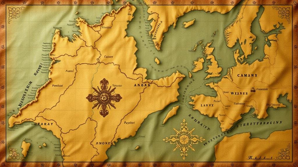
Following Treasure Map Paths Linked to Historic Military Campaigns
Following Treasure Map Paths Linked to Historic Military Campaigns
The concept of following treasure map paths has long captured the imagination of adventurers and historians alike. These paths, often metaphorical intersections of routes taken during historic military campaigns, provide a unique lens through which we can explore both military strategy and the socio-political ramifications of conflict. This article delves into the relationship between treasure maps and historic military campaigns, illuminating the intersection between geography, history, and adventure.
The Historical Context of Military Campaigns
Military campaigns have been instrumental in shaping nations and societies throughout history. From the Roman conquests to World War II, the movement of troops often followed strategic routes that facilitated supply lines, communication, and tactical advantages. The idea of treasure maps in this context does not refer to literal treasure, but rather the strategically valuable resources–land, cities, and supply depots–that were targeted during these campaigns.
- The Punic Wars (264-146 BC) between Rome and Carthage illustrate the use of coastal and overland routes for supply and troop movement.
- Napoleons campaigns across Europe were marked by intricate logistical planning, highlighting the significance of maps and reconnoitering resources.
The Importance of Geography in Military Strategy
Geography is a critical factor in military strategy. The terrain, climate, and natural resources of an area dictate how campaigns are planned and executed. Treasure maps often metaphorically represent these geographical considerations, showing routes intertwined with favorable or adverse conditions for troops. For example:
- During the American Civil War, the Union forces utilized rivers and railroads as vital paths that served as arteries of movement for troops and supplies.
- In the Napoleonic Wars, the study of geography allowed commanders to predict enemy movements and secure advantageous positions, as seen in the Battle of Austerlitz (1805).
Case Studies of Historic Campaigns and Their Treasure Maps
Examining specific case studies provides insights into how military campaigns were mapped and executed based on strategic goals. A few examples include:
- The Siege of Vicksburg (1863): Union General Ulysses S. Grant meticulously mapped the paths leading to Vicksburg, exploiting both land and waterways to encircle the Confederate stronghold. The success of this siege was crucial to the Union’s control of the Mississippi River.
- Operation Overlord (1944): The planning of D-Day involved complex mapping of the Normandy coastline, highlighting not just the physical geography, but also identifying potential enemy defenses. Accurate maps were the treasures that allowed for effective amphibious landings.
Modern Implications: Mapping Military History
Today, the mapping of historic military campaigns serves numerous purposes, from educational tools in military academies to resources for historians and enthusiasts. Digital mapping technologies, such as GIS (Geographic Information Systems), have revolutionized the way we analyze and visualize these paths.
- Interactive maps allow users to explore routes taken in historic battles, shedding light on tactical decisions and outcomes.
- Augmented reality applications enable users to experience historic campaigns firsthand, providing immersive educational experiences.
Preserving Military Heritage Through Exploration
Following the paths of historic military campaigns offers a multifaceted approach to preserving military heritage. Engaging with these routes can foster a deeper understanding of history and its implications on contemporary society. Themes of sacrifice, strategy, and the pursuit of peace emerge when exploring these treasure maps of the past.
Actionable Takeaways
For educators, historians, and enthusiasts looking to delve into the depths of military campaign paths, consider the following actionable steps:
- Use online databases and archives to access maps and documents related to historical military campaigns.
- Participate in guided tours that focus on historic battlefields, enhancing understanding of the geographical and strategic elements at play.
- Integrate modern mapping technologies in educational curricula to provide students with interactive experiences of military history.
To wrap up, following treasure map paths linked to historic military campaigns is a valuable exercise that transcends mere adventure, providing insights into the complexities of military strategy, geography, and the human experience throughout history.


