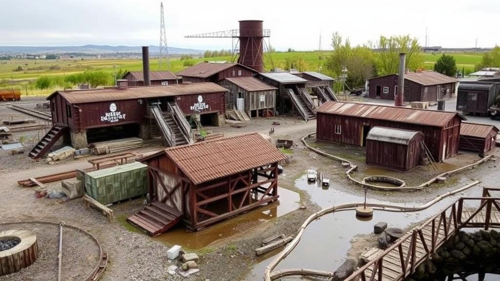
Mapping Old Smelting Sites for Industrial and Mineral Relics
Mapping Old Smelting Sites for Industrial and Mineral Relics
The historical significance of smelting sites in industrial and mineral processing cannot be overstated. As remnants of past industrial activity, these sites serve as crucial indicators of resource exploitation, labor practices, and technological advancement. This article discusses the methodologies used to map old smelting sites, their ecological and historical relevance, and case studies that highlight their importance in understanding industrial heritage.
Introduction
Smelting is the process of extracting metals from their ores through the application of heat and chemical reduction. Historically, smelting played a vital role in the development of human societies, particularly during the Industrial Revolution of the 18th and 19th centuries. Sites where smelting occurred often harbor a wealth of information regarding technological development and environmental impact.
Methodologies for Mapping Smelting Sites
The mapping of old smelting sites involves the integration of various technologies and disciplines, including archaeology, geospatial analysis, and environmental science. The following methodologies are commonly employed:
- Geographic Information Systems (GIS): GIS technology enables the spatial analysis of old smelting sites. It combines latitude and longitude data with historical maps to provide a comprehensive view of smelting activity over time.
- Remote Sensing: Satellite imagery and aerial photography facilitate the identification of smelting sites. This approach is particularly useful for inaccessible regions.
- Field Surveys: Ground-truthing through field surveys is essential for validating remote data. Archaeologists and researchers physically assess the sites to gather evidence of past activities.
Historical Context and Case Studies
To illustrate the significance of mapping old smelting sites, several notable examples are presented:
- The Copper Harbor Smelting Works, Michigan (1845-1855): Established during the copper boom, this site exemplifies early industrial smelting in the U.S. Mapping efforts revealed remnants of blast furnaces and slag heaps, providing valuable insights into 19th-century metallurgy.
- The Allihies Copper Mine, Ireland (1800s): One of the oldest copper mines in Europe, the smelting site has undergone extensive mapping using GIS, which revealed the extent of mining activity and helped in the conservation efforts of industrial heritage.
- The Swansea Copper Works, Wales (1760-1920): Considered to be the birthplace of the copper industry in Britain, detailed maps have documented the scale of operations, leading to strengthened regulatory measures regarding environmental restoration.
Ecological and Historical Relevance
Old smelting sites are not only significant from an industrial heritage perspective but also play a pivotal role in ecological studies. The remnants of smelting processes can lead to soil and water contamination due to heavy metals such as lead, arsenic, and cadmium. Understanding the historical context of these sites helps to formulate environmental remediation strategies.
For example, studies demonstrate that the Coniston Copper Mine in Cumbria, England, has elevated levels of copper and zinc in local waterways, which can adversely affect aquatic ecosystems. Remediation efforts informed by the mapping of these sites have led to pollution control initiatives aimed at restoring degraded environments.
Challenges in Mapping and Preservation
Despite the importance of mapping old smelting sites, several challenges persist:
- Funding Constraints: Research and preservation efforts often lack adequate funding, limiting extensive studies.
- Access and Permissions: Many smelting sites are on private property, which can complicate mapping efforts.
- Technological Limitations: While GIS and remote sensing are powerful tools, they have limitations, particularly in terms of resolution and data interpretation.
Conclusion and Actionable Takeaways
The mapping of old smelting sites serves as a valuable intersection of industrial archaeology, history, and environmental science. By employing advanced methodologies, such as GIS and remote sensing alongside field surveys, researchers can uncover the stories these sites hold and address the ecological concerns they pose.
Future initiatives should focus on:
- Obtaining funding for comprehensive studies of industrial relics.
- Encouraging collaboration between archaeologists, environmental scientists, and local governments.
- Developing educational programs to raise awareness about the importance of preserving these historical sites.
In summary, old smelting sites are invaluable resources that constitute an essential part of our industrial heritage. Their mapping not only contributes to historical understanding but also informs contemporary ecological practices.


