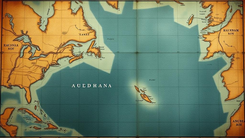
Investigating lost Viking settlements in North America with ancient sea charts.
Investigating Lost Viking Settlements in North America with Ancient Sea Charts
The Viking exploration of North America during the late 10th century does not only intrigue historians; it presents a complex puzzle of maritime navigation, settlement patterns, and cultural exchange. The discovery of ancient sea charts, coupled with ongoing archaeological efforts, is shining a light on these enigmatic voyages. This article delves into the methodologies employed to locate these lost Viking settlements and the critical role that ancient cartography plays in understanding their journeys.
The Viking Voyage to Vinland
To understand the significance of ancient sea charts in finding lost Viking settlements, it is essential to examine the historical context of their voyages. Historical records indicate that Norse explorer Leif Erikson reached a place he called Vinland, believed to be located somewhere in present-day North America around A.D. 1000. The Norse sagas reference lush landscapes and an abundance of resources, making it a tantalizing destination for settlement.
Historical Evidence and Archaeological Sites
The most prominent archaeological evidence of Viking presence in North America is found at LAnse aux Meadows in Newfoundland, Canada. This site, a UNESCO World Heritage site, dates back to around A.D. 1000 and features remnants of Norse-style structures, including turf houses and a workshop for iron production. It serves as the only widely accepted archaeological site that confirms Viking exploration in the New World.
Despite this discovery, the precise locations of Vinland and other potential Viking settlements remain elusive. Some researchers speculate that ancient sea charts, such as the Piri Reis Map (created in 1513), show features indicating Viking knowledge of the North American coastline.
Ancient Sea Charts as Navigational Tools
Ancient mariners relied on various navigational tools, including celestial navigation, coastal landmarks, and sea charts. These charts, such as the ones used by Norse explorers, combined knowledge accumulated over generations. They depicted sea routes, currents, and notable geographical features.
- The use of landmarks like cliffs and islands to guide sailors
- Incorporation of prevailing currents in oceanic navigation
Parsing through ancient sea charts gives modern researchers clues about potential Viking routes and possible locations for undiscovered settlements. For example, elements of the Piri Reis Map suggest that the Vikings sailed southward past Newfoundland, which may explain why some archaeological hints have been found as far south as Massachusetts.
Scientific Techniques in Settlement Investigation
In recent years, archaeologists have turned to advanced scientific techniques to uncover Viking settlements. These methods include ground-penetrating radar, aerial surveys, and isotopic analysis of artifacts. For example, aerial imagery has been instrumental in identifying potential sites that mirror the patterns of Norse settlements in Europe.
Also, isotopic analysis of soil samples can reveal agricultural practices consistent with Viking culture, indicating the possibility of a sustained settlement. Such methodologies combined with ancient sea charts provide a multidimensional approach to discovering lost Viking locales.
Real-World Applications and Implications
The investigation of Viking settlements not only enhances our understanding of Norse exploration but also contributes to the broader narrative of trans-oceanic contact before Columbus. The findings challenge long-held beliefs about the timeline and nature of exploration in the North Atlantic.
The modern implications of this research are unmistakable as well. They affect historical narratives, educational curricula, and public perceptions of early maritime navigation. Also, scholars are still untangling the socio-economic impacts on indigenous populations encountered by the Vikings.
Actionable Takeaways
- Engage with primary sources such as the Viking sagas to gain insight into early Norse navigation.
- Explore recent archaeological findings at locations like LAnse aux Meadows for first-hand knowledge of Viking settlements.
- Stay informed about the latest technological advances in archaeology that are unveiling lost histories.
To wrap up, the investigation of lost Viking settlements in North America through the lens of ancient sea charts provides a fascinating glimpse into a complex historical narrative. By merging historical texts, archaeological research, and modern scientific techniques, we can begin to piece together the story of the Vikings and their brief but significant forays into North America.


