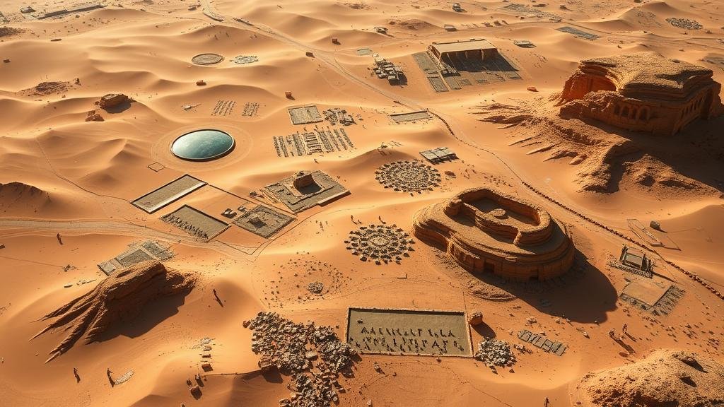
Uncovering evidence of forgotten civilizations in deserts through satellite archaeology.
Uncovering Evidence of Forgotten Civilizations in Deserts Through Satellite Archaeology
Satellite archaeology has revolutionized our understanding of ancient civilizations, revealing lost cities and forgotten cultures beneath the sands of arid landscapes. This innovative approach combines modern technology with historical research to illuminate the intricacies of human development in some of the world’s most inhospitable regions.
The Power of Satellite Imagery
Satellite imagery allows archaeologists to survey vast areas of land quickly and efficiently. By utilizing high-resolution photographs and remote sensing technologies, researchers can detect subtle changes in the earth’s surface that indicate human activity, even when those signs are invisible to the naked eye.
- High-resolution imagery can detect ancient roads, buildings, and agricultural fields.
- Infrared imaging reveals heat differentials that can signify buried structures.
Case Studies: Discoveries in Desert Regions
Several notable discoveries illustrate the effectiveness of satellite archaeology in uncovering lost civilizations:
1. Lost City of Ubar
In southern Oman, the legendary lost city of Ubar, often referred to as the Atlantis of the Sands, was located using satellite data. Research conducted in 2007 utilized satellite imagery to identify structures and settlement patterns that matched historical accounts. This finding helped validate the existence of a thriving trade hub that flourished during the height of the incense trade.
2. Ancient City of Tanis
In northern Egypt, satellite archaeology contributed to the discovery of Tanis, an ancient city known for its significant contributions to Egyptian history. A 2009 study used satellite data to uncover remnants of the city that had been buried for centuries. Researchers were able to identify the layout of streets and structures, shedding light on the urban planning of ancient Egyptian civilization.
3. Prehistoric Settlements in the Sahara
The Sahara Desert, once a lush landscape, is home to numerous prehistoric settlements now hidden beneath the sand. In a 2018 project, archaeologists employed satellite technology to locate ancient watercourses and associated settlements. This endeavor provided insights into the migration patterns of early humans as they traveled in search of resources.
How Satellite Archaeology Works
The methodology of satellite archaeology consists of several key components:
- Remote Sensing: Uses various satellite sensors to collect data on vegetation, soil, and morphology.
- Geographic Information Systems (GIS): Data is analyzed and visualized to create detailed maps of potential archaeological sites.
- Ground Truthing: Field surveys and excavations are conducted to verify the findings from satellite data.
Global Impact of Discoveries
The implications of uncovering lost civilizations are profound. e findings can alter our understanding of human history by providing evidence of trade routes, cultural exchanges, and environmental adaptations:
- Discovery of trade routes reveals interactions between previously thought isolated civilizations.
- Insights on agricultural practices highlight how ancient societies adapted to desert environments.
Challenges and Limitations
Despite its advantages, satellite archaeology faces several challenges:
- Data Resolution: Lower resolution can obscure finer details of smaller sites.
- Environmental Factors: Dense vegetation and changing landscapes can hinder visibility.
- Interpretative Challenges: Identifying the significance of structures requires contextual knowledge.
Future of Satellite Archaeology
The future of satellite archaeology is promising, with advancements in technology such as artificial intelligence and machine learning enhancing data analysis capabilities. Researchers are increasingly able to sift through vast data sets to identify patterns and anomalies that might indicate archaeological significance. As technologies evolve, the likelihood of discovering more forgotten civilizations increases exponentially.
Actionable Takeaways
For those interested in exploring satellite archaeology or contributing to the field, consider the following steps:
- Stay informed about recent studies and technological advancements in remote sensing.
- Engage with academic institutions or organizations involved in archaeological research.
- Support preservation efforts for sites discovered through satellite archaeology.
Conclusion
The intersection of satellite technology and archaeology is unlocking the mysteries of ancient civilizations hidden in deserts around the globe. By analyzing satellite imagery and utilizing state-of-the-art methodologies, researchers are bridging the gap between past and present, revealing the stories of those who once thrived in arid landscapes. As this field continues to evolve, we can expect even greater revelations that deepen our understanding of human history.


