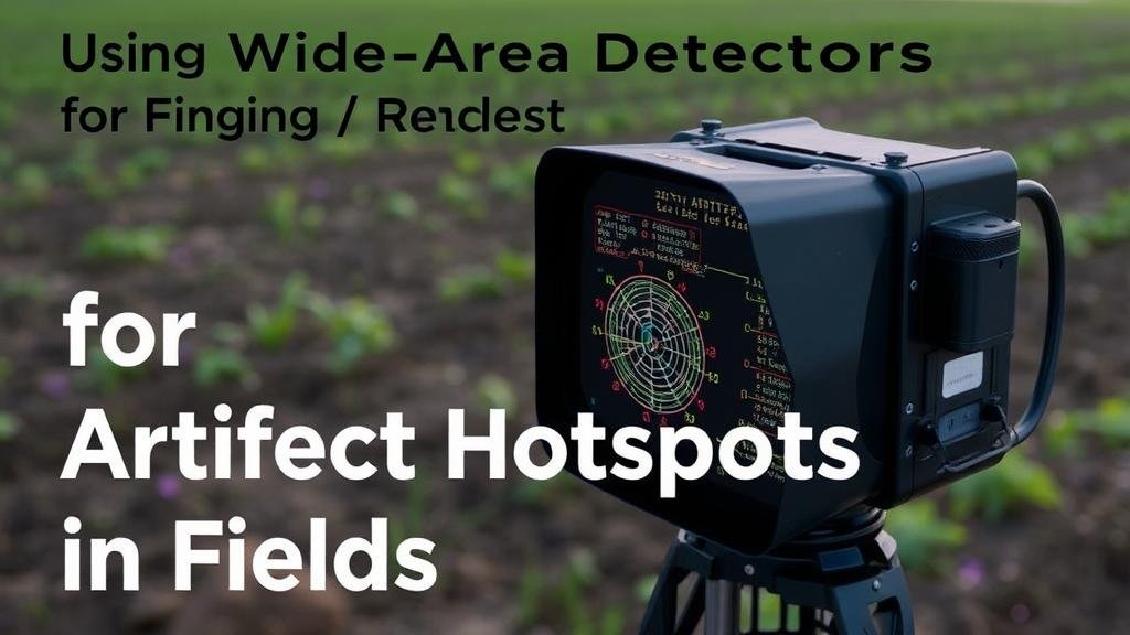
Using Wide-Area Detectors for Mapping Artifact Hotspots in Fields
Using Wide-Area Detectors for Mapping Artifact Hotspots in Fields
The advent of modern technology has transformed the field of archaeology, particularly in the area of large-scale site surveying. One of the most significant advancements is the use of wide-area detectors, which provide researchers with the ability to efficiently map artifact hotspots across large geographical areas. This article delves into the principles, methodologies, and applications of wide-area detectors in the context of archaeological surveys, underscoring their advantages and the interpretive insights they can deliver.
The Principles of Wide-Area Detection
Wide-area detectors operate on the foundational principle of capturing and analyzing a broad expanse of terrain simultaneously. e detectors can include technologies such as ground-penetrating radar (GPR), aerial laser scanning (LiDAR), and magnetometry. Unlike traditional methods that rely heavily on physical excavation and visual inspection, wide-area detectors utilize electromagnetic waves, laser light, or magnetic fields to reveal sub-surface artifacts without altering the landscape.
For example, GPR emits short radar pulses into the ground and measures the reflected signals, allowing archaeologists to identify and map structures or objects buried several meters deep. A case study from the Cahokia Mounds in Illinois, a UNESCO World Heritage site, demonstrated the effectiveness of GPR in identifying urban layouts and previously unknown structures.
Methodologies for Mapping Artifact Hotspots
Mapping artifact hotspots utilizing wide-area detectors involves several key methodologies that maximize data collection and enhance interpretative accuracy:
- Site Selection: The initial step involves selecting areas of interest based on historical data, existing artifacts, or environmental features that suggest human activity.
- Data Acquisition: High-resolution data is collected through wide-area detectors, ensuring comprehensive coverage of the selected site. This could mean flying over a site with a drone equipped with LiDAR or scanning the ground with a GPR system.
- Data Processing: Collected data undergoes processing, which often includes filtering noise, generating 3D models, and identifying patterns indicative of artifacts or structures.
- Analysis and Interpretation: Archaeologists analyze the processed data, often correlating it with known historical contexts to identify potential artifact hotspots.
Applications in Archaeological Research
The utilization of wide-area detectors in mapping artifact hotspots has demonstrated its utility in various archaeological contexts. Some notable applications include:
- Settlement Patterns: Mapping changes in settlement distributions over time can help researchers understand population movements and social structures. For example, LiDAR was instrumental in uncovering ancient Maya cities, revealing urban planning and infrastructure previously hidden under dense jungle canopies.
- Burial Sites: The ability to detect anomalies in the soil profile enables archaeologists to locate burial sites without extensive digging. Magnetometry, for instance, has successfully identified mass graves from historical conflicts, offering insights into tragic events of the past.
- Resource Distribution: Understanding how ancient populations utilized their landscapes and resources can inform our understanding of their economies. Wide-area detectors enable researchers to identify patterns in resource allocation and settlement locations, demonstrating how natural features influenced human behavior.
Challenges and Limitations
Despite their advantages, the use of wide-area detectors is not without challenges. Factors such as soil composition, moisture levels, and vegetation can affect the accuracy of the data collected. For example, GPR may struggle to penetrate certain clay-rich soils, leading to incomplete or misleading interpretations.
Also, the cost of such technologies can be prohibitive for small-scale projects, potentially creating a barrier to their widespread adoption. Training personnel to interpret the complex data produced by wide-area detectors also requires investment in education and resources.
Future Directions and Innovations
As technology continues to evolve, the future of wide-area detection in archaeology looks promising. Innovations in machine learning and artificial intelligence are beginning to play a significant role in data analysis, enabling archaeologists to process vast amounts of information more efficiently and make more informative conclusions.
For example, automated anomaly detection algorithms can assist in identifying potential artifact hotspots from complex datasets with minimal human oversight. e advancements could revolutionize the speed and accuracy of archaeological surveys, making them more accessible to a broader range of researchers.
Actionable Takeaways
- Consider implementing wide-area detection technologies in archaeological surveys to enhance efficiency and accuracy.
- Invest in training and development to interpret the sophisticated data generated by these detectors.
- Stay informed about technological advancements and innovations that may further enrich archaeological methodologies.
- Engage in interdisciplinary collaboration, merging archaeological expertise with technological knowledge to maximize the potential of wide-area detection methods.
To wrap up, wide-area detectors represent a significant leap forward in archaeological practices, providing an efficient means to map artifact hotspots while revealing the complexities of past human behavior. Their integration into archaeological research continues to reshape our understanding of historical landscapes and cultural developments.


