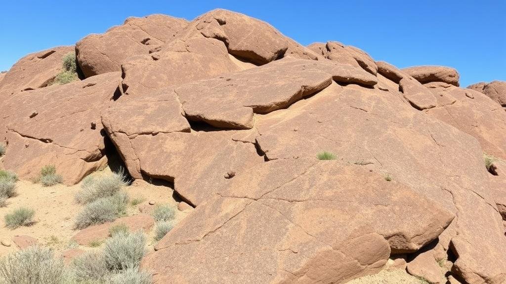
Discovering Local Fossil Sites with State Geological Survey Resources
Discovering Local Fossil Sites with State Geological Survey Resources
Fossil sites provide crucial insights into the Earths biological history, showcasing the evolution of life and offering a window into past environments. State Geological Surveys play an integral role in facilitating the discovery of these sites, as they provide access to geological maps, stratigraphic data, and expertise in geological formations. This article explores how individuals and researchers can utilize state geological resources to identify and excavate local fossil sites, with a particular focus on specific examples from various regions in the United States.
The Role of State Geological Surveys
State Geological Surveys serve as authoritative resources for geological information, including data on rock formations, mineral resources, and fossiliferous deposits. Established primarily in the 19th century, these agencies collect and maintain geological data within their respective states. They offer various services, including:
- Access to geological maps that show the distribution of different rock types
- Data sets that outline stratigraphic layers, which are essential for identifying the potential age of fossils
- Expertise through trained geologists and paleontologists available for consultation
Each states resources can vary, but they typically provide online databases where the public can search for geological information pertinent to their area of interest. For example, the U.S. Geological Survey (USGS) compiles comprehensive geological data that is accessible nationwide, serving as a vital tool for amateur paleontologists and researchers alike.
Utilizing Geological Maps
Geological maps are an essential tool for discovering fossil sites because they visually represent the distribution of rock types and ages across a specific area. By consulting these maps, individuals can identify regions enriched with sedimentary rocks, which are more likely to contain fossils. For example, the Minnesota Geological Survey provides detailed geological maps indicating sedimentary deposits from the Paleozoic era, including the well-known Ordovician formations in Southern Minnesota, where fossils such as trilobites and brachiopods can be found.
Stratigraphic Data and Its Importance
Understanding stratigraphy, or the layering of geological materials, is crucial for locating fossils. Stratigraphic data helps determine the age and formation processes of rocks, which aids researchers in predicting where fossils may be nestled within these layers. For example, the Arkansas Geological Survey has documented extensive stratigraphic columns throughout the state, revealing rich fossil occurrences in the famous Fayetteville Shale and other formations. This systematic approach allows for more successful fossil hunting based on a clear understanding of geological history.
Case Studies of Successful Fossil Discoveries
Examining successful fossil discoveries highlights the efficacy of utilizing state geological survey resources. A prominent example can be found in the state of Ohio, home to the Ohio Geological Survey. In 2015, amateur paleontologists discovered a large cache of Devonian fossils, including cephalopods and ancient corals, in the Huron member of the Ohio shale. They utilized maps and stratigraphic data from the state geological survey to guide their excavation, emphasizing the importance of utilizing available data.
Another illustrative case occurred in New Jersey, where fossil enthusiasts utilized surveys from the New Jersey Geological Survey to locate fossil-rich zones in the Triassic and Jurassic formations. This meticulous research led to the recovery of dinosaur tracks in the Historic Water Gap area, showcasing how geological resources can lead to significant paleontological findings.
Challenges and Considerations
While state geological resources are invaluable for discovering fossil sites, there are challenges and considerations that prospective fossil hunters should keep in mind. These include:
- Understanding local laws and regulations concerning fossil excavation and collection
- Ensuring proper permits are acquired, especially in protected areas or state parks
- Respecting ethical standards in paleontology, such as not removing fossils from sites without permission
Plus, collaboration with local universities or geological clubs can enhance fossil hunting endeavors. Many colleges maintain collections of fossils and may have ongoing research projects that welcome public involvement.
Actionable Takeaways
To wrap up, the discovery of local fossil sites can be greatly enhanced by leveraging the resources provided by state geological surveys. By following these actionable steps, aspiring paleontologists can optimize their fossil hunting efforts:
- Access and study local geological maps and stratigraphic data from state geological surveys.
- Network with professionals at universities and participate in community fossil hunts.
- Stay informed about local regulations surrounding fossil collection to ethically conduct research.
In summary, the exploration of local fossil sites using state geological survey resources not only fosters a deeper understanding of the Earths history but also helps engage the public in scientific discovery and environmental stewardship.


