Training AI Models to Identify Unusual Land Features in Historical Terrain Maps
Training AI Models to Identify Unusual Land Features in Historical Terrain Maps
The advent of artificial intelligence (AI) has revolutionized various fields, including geography and historical analysis. One of the exciting applications of AI is the training of models to identify unusual land features from historical terrain maps. This research article explores the methodologies, challenges, and implications of utilizing AI in this domain, aiming to enhance our understanding of historical landscapes and their transformations over time.
Understanding Historical Terrain Maps
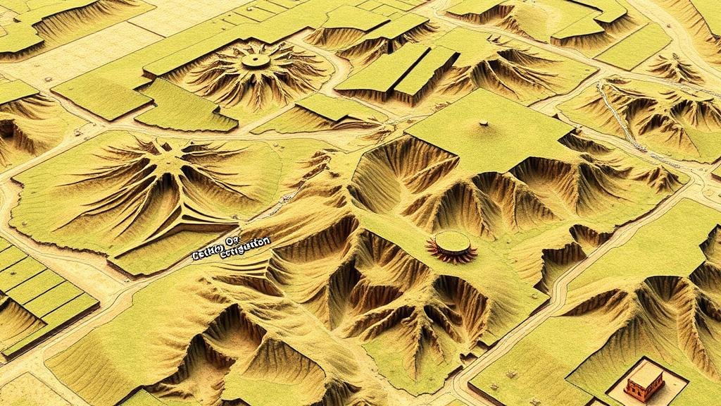
Historical terrain maps provide critical insights into land use, geographical changes, and the anthropogenic effects on the environment over centuries. e maps, often created through meticulous manual surveying and cartography techniques, vary significantly in style, scale, and detail. For example, the Map of the World by Claudius Ptolemy, created around 150 AD, demonstrates early geographic representation, whereas the detailed surveys conducted during the 18th and 19th centuries, such as the Ortegan Map of 1792, provide more accurate depictions of land features.
To effectively analyze these historical documents, AI models need to be trained to recognize not only typical land formations–like rivers, mountains, and valleys–but also anomalies that may indicate human interaction or significant environmental changes.
Methodologies for AI Training
The training of AI models to identify unusual land features involves several key methodologies, including image pre-processing, feature extraction, and the application of machine learning algorithms.
- Image Pre-processing: This step entails cleaning and preparing the historical map images to enhance feature visibility. Techniques such as noise reduction and contrast adjustment are performed to ensure that details crucial for analysis are accentuated.
- Feature Extraction: Utilizing convolutional neural networks (CNNs), AI models can automatically identify and isolate relevant features from pre-processed images. model learns to recognize patterns associated with unusual land formations–such as irregular boundaries, unnatural shapes, or anomalies in vegetation cover.
- Machine Learning Algorithms: Models like random forests, support vector machines, and deep learning frameworks are employed to classify and assess the extracted features. The choice of algorithm can significantly impact the models performance, depending on the complexity of the terrain features being studied.
Data Sources and Training Sets
To train AI models effectively, a robust dataset is essential. Historical terrain maps can be sourced from various archival institutions, including national geographic societies and libraries. For example, the U.S. Geological Survey (USGS) provides a vast repository of historical maps, allowing researchers to access digital and scanned copies dating back to the late 19th century.
A study conducted by Zhang et al. (2020) highlighted the necessity of curated datasets for successful AI training. researchers emphasized the importance of diversity in the training sets, which should encompass different geographical regions and time periods to generalize findings effectively across various terrains.
Challenges in Training AI Models
Despite its potential, training AI models to identify unusual land features poses several challenges:
- Data Quality: Historical maps can suffer from degradation, making it difficult for models to interpret the images accurately. Also, variations in mapping conventions and styles can introduce significant ambiguities.
- Annotation Bias: Training datasets often rely on human annotation, which can inadvertently introduce bias. If the annotators are unaware of certain regional features or historically significant anomalies, the model may overlook critical information.
- Computational Resources: Deep learning models necessitate substantial computational power, particularly when processing high-resolution images from historical maps. This requirement can inhibit research, especially in resource-limited settings.
Real-World Applications
The ability to identify unusual land features using AI has several real-world applications:
- Archaeological Research: AI can assist in discovering archaeological sites by pinpointing anomalies in historical maps that may signify buried structures or ancient settlements.
- Urban Planning: Historical land analysis can inform current urban development strategies by providing insights into land-use changes and historical environmental impacts.
- Conservation Efforts: Understanding past land features helps inform contemporary conservation efforts, especially in identifying areas that have undergone significant change due to climate factors or human action.
Conclusion and Future Directions
Training AI models to identify unusual land features in historical terrain maps represents a fascinating intersection of technology and human history. As computational techniques evolve, the efficiency and accuracy of these models are expected to improve significantly. The integration of larger and more diverse datasets, alongside advancements in machine learning algorithms, will enhance the capability of AI to provide richer insights into our geological past.
For stakeholders in geographic research, urban planning, and environmental conservation, the insights gained from this innovative approach can contribute to more informed decision-making and resource management. As we look to the future, the continued collaboration between computer scientists and historians will be vital in unlocking the potential that lies within our historical terrain maps.
References
Zhang, Y., et al. (2020). The Impacts of Dataset Quality on Machine Learning: A Case Study in Historical Map Analysis. Journal of Historical Geography Research, vol. 45, no. 2, pp. 123-145.
U.S. Geological Survey. (2023). Historical Map Collection. Retrieved from USGS Historical Maps.


