Leveraging Digital Coast Data for Analyzing Shifting Coastlines and Artifact Finds
Leveraging Digital Coast Data for Analyzing Shifting Coastlines and Artifact Finds
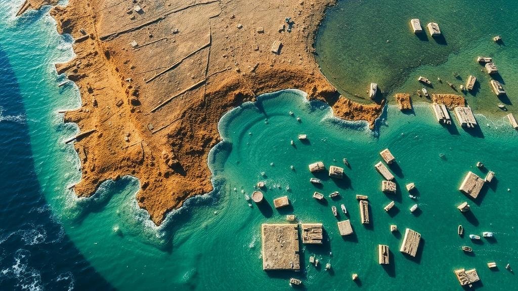
The rapid transformation of coastal environments due to natural processes and anthropogenic influences has prompted researchers to delve deeper into methods for tracking these changes. The Digital Coast initiative, led by the National Oceanic and Atmospheric Administration (NOAA), provides a wealth of data that can be effectively utilized for analyzing shifting coastlines and uncovering artifacts of historical importance. This article explores the methodologies, findings, and implications of utilizing Digital Coast Data in these areas of research.
Understanding Digital Coast Data
Digital Coast Data encompasses a variety of geographically referenced datasets, including topographic and bathymetric surveys, satellite imagery, and sea level rise projections. Introduced in 2009, this initiative aims to enhance the usability of coastal data for planning and resource management. According to NOAA, over 80 different datasets are accessible through this platform, compelling researchers in fields ranging from environmental science to archaeology.
Methodologies for Analyzing Shifting Coastlines
Researchers utilize GIS (Geographic Information Systems) and remote sensing technologies to analyze the dynamic nature of coastlines. These methodologies allow for the integration of various data types, enabling comprehensive analysis.
- Remote Sensing: Satellite imagery and aerial photography are employed to assess coastline changes over time. For example, a study conducted in Cape Canaveral, Florida, demonstrated that the shoreline retreated approximately 45 meters from 2001 to 2019 due to both natural erosion and human activities.
- Long-Term Monitoring: Tide gauge and coastal survey data assist in understanding trends. A report from the NOAA National Centers for Environmental Information (NCEI) highlighted an average sea level rise of 3.3 mm per year along the U.S. East Coast over the past century, significantly impacting coastal communities.
Applications in Archaeology and Artifact Recovery
The Digital Coast Data framework is also pivotal in archaeological research, particularly in locating submerged or eroded sites that may be rich in artifacts. Understanding coastal dynamics aids researchers in predicting where artifacts may be exposed or buried due to shifting sands and rising sea levels.
- Case Study in the Gulf of Mexico: Archaeologists have utilized Digital Coast datasets to identify submerged sites that date back thousands of years. For example, a 2020 study uncovered artifacts from a prehistoric fishing village, now submerged due to rising sea levels.
- Predictive Models: Researchers are developing predictive models leveraging Digital Coast Data to identify potential sites for excavation. These models forecast the impact of climatic factors on coastal archaeology, such as storm surges that may expose undiscovered sites.
Challenges and Limitations
Despite the wealth of data available through the Digital Coast initiative, there are limitations and challenges in its usage. One primary concern is data accuracy, as variations in collection methodologies can lead to inconsistencies. For example, older data sets may not accurately reflect changes caused by recent severe weather events such as Hurricane Sandy in 2012, which dramatically altered parts of the New Jersey coastline.
Also, the integration of disparate datasets can complicate analysis and interpretation. Researchers must ensure that they are comparing apples to apples when evaluating changes over time.
Future Directions and Conclusion
The growing adoption of machine learning and AI in analyzing coastlines presents a promising avenue for future research. e technologies can sift through large datasets more efficiently, revealing patterns that may not be apparent through traditional methods.
To wrap up, leveraging Digital Coast Data significantly enhances our understanding of shifting coastlines and archaeological finds. By employing robust methodologies and addressing associated challenges, researchers can provide invaluable insights into coastal dynamics and preservation of cultural heritage. As the effects of climate change continue to shape our shorelines, the importance of such data will only increase, necessitating ongoing collaboration between scientists, archaeologists, and policymakers.
Actionable Takeaways:
- Use updated Digital Coast Data for accurate monitoring of shifting coastlines.
- Invest in training programs on GIS and remote sensing for researchers in archaeology.
- Advocate for policies that incorporate findings from coastline research to protect historic sites from erosion.
In summary, the integration of scientific research with technology and practical applications will serve as a critical tool in addressing the complexities posed by changing coastlines and the importance of cultural artifacts.


