Techniques for Identifying Anchor Sites and Their Surrounding Relics
Techniques for Identifying Anchor Sites and Their Surrounding Relics
Identifying anchor sites and their surrounding relics is a critical aspect of archaeological studies and research. Anchor sites, often defined as major hubs of activity or places with significant historical relevance, require meticulous methods for proper uncovering and documentation. This article will explore a variety of techniques used by archaeologists and historians to identify these sites effectively, drawing examples from notable case studies and providing actionable insights for further exploration.
Survey Techniques
Field surveys play a fundamental role in identifying potential anchor sites. e surveys can range from visual inspections to systematic sampling methods. One common approach is the pedestrian survey, which involves archaeologists walking in a defined area to directly observe and record any surface artifacts.
- Example: Çatalhöyük, Turkey – A prominent Neolithic site where surface surveys revealed extensive artifacts that informed researchers about settlement patterns.
- Example: Pompeii, Italy – Systematic pedestrian surveys conducted over the decades have uncovered a wealth of information about urban organization and daily life prior to the eruption of Mount Vesuvius.
Another method in this category is geophysical surveying, which employs techniques such as ground penetrating radar (GPR) and electromagnetic induction. These non-invasive methods allow researchers to map subsurface features without excavation.
Remote Sensing Technologies
Remote sensing technologies have revolutionized archaeological practices. Techniques such as satellite imagery and aerial photography provide scientists with the ability to discern landforms and anomalies indicative of past human activity. For example, LiDAR (Light Detection and Ranging) can reveal buried structures and landscape modifications obscured by vegetation.
- Case Study: Angkor Wat, Cambodia – The use of LiDAR has exposed an extensive urban network surrounding the temple complex, changing perceptions of its size and sophistication.
- Case Study: Great Zimbabwe – Aerial surveys have uncovered extensive trade routes and settlement patterns, helping to better understand the socio-economic dynamics of the civilization.
Artifact Analysis and Chronological Dating
Beyond surface identification, artifact analysis remains crucial in confirming anchor sites. The analysis of pottery, tools, and biofacts offers insight into the culture and chronology of a site. Radiocarbon dating is particularly useful in establishing the age of organic materials, while stratigraphy helps understand the layering of deposits over time.
- Example: The Tigris-Euphrates Valley – Artifacts such as ceramic fragments, once analyzed, traced back relationships between diverse ancient societies.
- Example: The Nile Delta – The stratigraphic excavation in this region uncovered layers of material culture that dated back thousands of years, leading to a better understanding of Egyptian dynasties.
Community and Oral Histories
Incorporating local community knowledge can be immensely beneficial for identifying anchor sites. Oral histories and cultural narratives often highlight significant locations that may not appear on written records. Engaging local populations can yield invaluable insights, bridging the gap between academic research and lived experience.
- Case Study: Indigenous Sites in Australia – Aboriginal oral histories have guided researchers to burial sites and sacred locations that are pivotal to understanding the lands historical significance.
- Case Study: The Amazon Rainforest – Collaboration with indigenous tribes has resulted in the identification of ancient structures linked to sustainable resource management practices.
Environmental and Landscape Analysis
A thorough understanding of the environmental context surrounding an anchor site contributes significantly to its identification. Environmental archaeology examines soil profiles, botanical remains, and faunal assemblages to reconstruct past landscapes and human interactions with the environment.
- Example: The Maya Lowlands – Studies of pollen and soil indicate how ancient Maya civilizations adapted to and modified their ecosystem, revealing the locations of potential anchor sites.
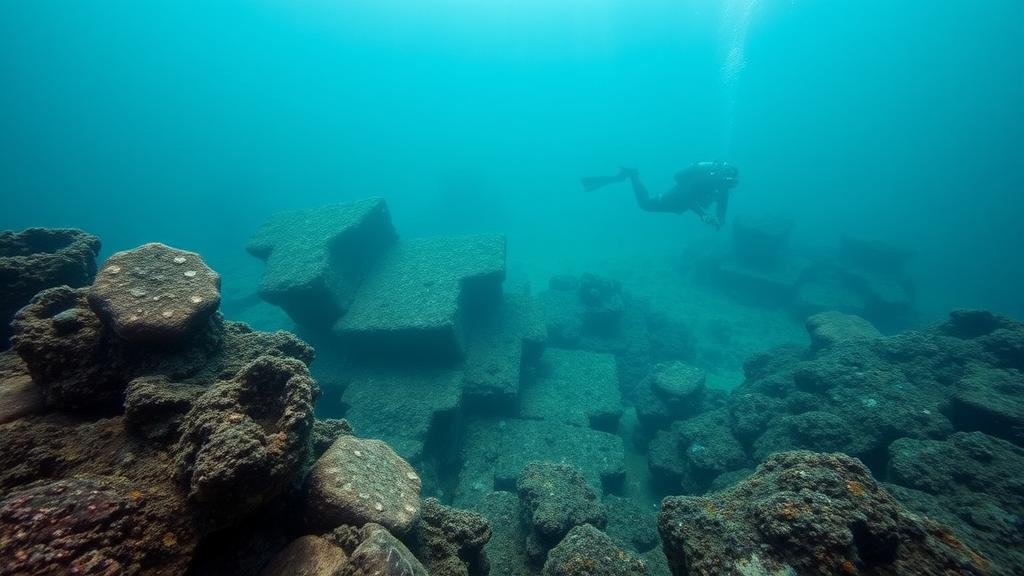
- Example: Coastal Sites in North America – Marine geologists employ sediment analysis to track ancient coastlines and assess potential archaeological sites submerged under water.
Conclusion
Identifying anchor sites and their surrounding relics is a multifaceted endeavor that draws from a variety of techniques–ranging from field surveys to advanced remote sensing. Each technique works best when utilized in combination, providing a comprehensive view of historical landscapes. As archaeological methods evolve, the integration of technology, community input, and environmental studies will enhance our understanding of human history and cultural heritage.
To sum up, successful identification techniques involve:
- Conducting thorough field surveys.
- Utilizing advanced remote sensing technologies.
- Analyzing artifacts meticulously for chronological context.
- Incorporating local oral histories and communities’ perspectives.
- Examining environmental factors and landscape changes.
By applying these techniques, scholars not only uncover the past but also engage in meaningful dialogues with contemporary communities, ensuring that the stories of anchor sites and their relics continue to resonate for generations to come.


