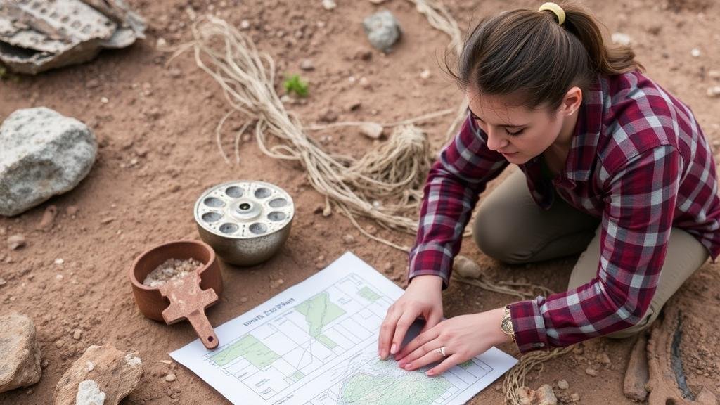
Techniques for Mapping Relic Finds With Geographic Information Systems (GIS)
Techniques for Mapping Relic Finds With Geographic Information Systems (GIS)
Geographic Information Systems (GIS) have revolutionized the field of archaeology, providing researchers with powerful tools to map and analyze relic finds. By leveraging spatial data and advanced mapping techniques, archaeologists can gain valuable insights into historical contexts, site distributions, and landscape dynamics. This article aims to explore various techniques for mapping relic finds using GIS, highlighting methodologies, applications, and significant case studies.
Understanding Geographic Information Systems (GIS)
GIS is a technological framework that enables the collection, storage, analysis, and presentation of geographic data. It integrates hardware, software, and data to facilitate spatial analysis, allowing users to visualize complex relationships within geographic spaces. In archaeology, GIS is employed to map relic finds and analyze spatial relationships between artifacts, landscapes, and human activities.
Techniques for Mapping Relic Finds
- Data Collection and Ground Truthing
- Creating Georeferenced Maps
- Spatial Analysis using GIS Software
- Heat Mapping
- 3D Modeling of Finds
Data Collection and Ground Truthing
The initial step in mapping relic finds involves rigorous data collection. Field surveys and excavations yield critical information on the location and context of artifacts. Ground truthing, which involves verifying data collected through remote sensing or historical records, ensures reliability. For example, in projects like the Map of Archaeological Sites in Western Rim of the Atlantic, archaeologists combined satellite imagery with ground observations to enhance spatial accuracy.
Creating Georeferenced Maps
Georeferencing involves aligning various data layers to a common coordinate system, ensuring that all data points correspond to specific locations on the Earth’s surface. This process often employs GPS technology to achieve high precision. Researchers can transform scanned historical maps into georeferenced forms, allowing comparisons across temporal landscapes. For example, the Ancient Roman Road Project utilized historical maps alongside modern GPS data to create detailed representations of ancient road systems, aiding in understanding trade routes and settlement patterns.
Spatial Analysis using GIS Software
Once data is georeferenced, sophisticated GIS software tools (such as ArcGIS or QGIS) facilitate a range of spatial analyses. Techniques such as buffer analysis, overlay analysis, and network analysis allow researchers to discern patterns across various layers of data. For example, in the Port of Pompeii Project, archaeologists analyzed spatial relationships between relic finds and their proximity to ancient trade routes, uncovering how geography influenced commerce in Roman times.
Heat Mapping
Heat mapping is a technique that visualizes the density of relic finds in specific areas. By creating a heat map based on the concentration of artifacts, archaeologists can identify hotspots of historical activity. This approach was effectively employed in the Battlefield Archaeology research, where heat maps revealed concentrations of weapon finds, leading to insights about troop movements and battlefield strategies.
3D Modeling of Finds
Advancements in technology have made creating detailed 3D models of relic finds increasingly accessible. e models enhance the understanding of artifacts’ spatial relationships and contextual significance. For example, the 3D Archaeology initiative successfully created digital replicas of finds from ancient burial sites, allowing for virtual exhibitions and further study that transcends physical limitations of museum space.
Case Studies in GIS Application
- The Olmec Civilization: Researchers used GIS to analyze the spatial organization of Olmec sites, revealing patterns of urban planning and ceremonial spaces.
- Angkor Wat: GIS enabled archaeologists to map the extensive water management systems surrounding Angkor Wat, providing insights into the civilizations engineering prowess and its sustainability practices.
Challenges and Considerations
While GIS presents numerous advantages, challenges remain. Data quality, accessibility, and the need for specialized training are barriers that can hinder effective implementation. Also, ethical considerations surrounding the use of cultural heritage data, especially in sensitive sites, must be addressed. Archaeologists must navigate these complexities responsibly to ensure that their findings contribute to knowledge without compromising cultural integrity.
Actionable Takeaways
The integration of GIS into archaeological practice enhances the efficiency and depth of relic mapping. Researchers and practitioners should:
- Invest in training for GIS technologies to maximize their capabilities.
- Prioritize data accuracy through ground truthing and reliable GPS technology.
- Use diverse GIS techniques for spatial analysis and visualization.
- Engage with ethical considerations in data handling to protect cultural heritage.
By embracing these techniques, archaeologists can continue to explore and understand the complexities of human history through the lens of geographic information systems.


