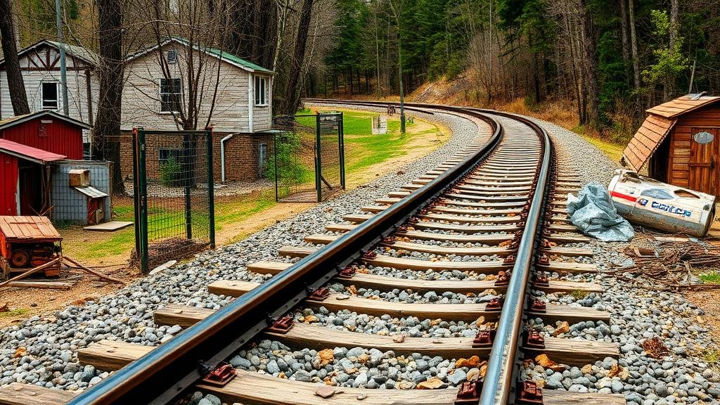
Mining Abandoned Rail Line Maps for Historical Relics Along Tracks
Mining Abandoned Rail Line Maps for Historical Relics Along Tracks
The study of abandoned rail lines provides a unique opportunity to uncover historical relics that reflect the socio-economic developments of past eras. This article explores methodologies for mining historical maps of abandoned rail lines to identify and locate relics left along these routes. By integrating cartographic analysis with archaeological techniques, researchers can unveil intricate narratives that tell the story of industrial growth and decline.
Historical Background of Rail Lines
Railroads were instrumental in shaping the economic landscape of the United States in the 19th and early 20th centuries. For example, the Transcontinental Railroad, completed in 1869, connected the East and West coasts, facilitating commerce and settlement. But, as transportation technology evolved, many rail lines were abandoned. According to the Federal Railroad Administration, over 80,000 miles of rail track were removed between 1916 and 1980.
Importance of Mining Historical Maps
Historical maps are critical resources for understanding the layout and context of abandoned rail lines. offer insights into the operational extent of railroads and highlight points of interest such as stations, warehouses, and loading docks. Maps from sources like the American Memory Project, which dates back to the 1600s, provide comprehensive historical documentation that helps locate these features.
- Sanborn Fire Insurance Maps (1850-1950) document properties adjacent to rail lines.
- Railroad Company Maps illustrate the original planning and expansion of rail routes.
Methodologies for Mining Maps
The process of mining historical rail maps involves several steps, including:
- Data Collection: Gathering historical maps from libraries, archives, and online databases ensures a robust dataset for analysis.
- Georeferencing: Aligning historical maps with modern geographical information systems (GIS) helps visualize changes over time.
- Field Surveys: Conducting on-site inspections along the mapped routes allows researchers to identify and document physical relics.
Georeferencing, for example, transforms scanned historical documents into accurate spatial data, facilitating the overlay of ancient tracks on contemporary maps–enabling precise location tracking of relics, such as old depots or bridges.
Real-World Applications
Several case studies illustrate the practical benefits of mining historical maps. In the case of the Erie Canal, research in the 2000s utilized historical maps to locate remnants of early steam locomotives. This led to a deeper understanding of technological advancements in transportation from 1825 to 1900.
Another example is the a 2018 project in Montana, where researchers uncovered an array of artifacts including rail spikes and switch gear, correlating their locations with historical records. This archaeological endeavor highlighted the transition from steam to electric trains and provided insights into local industrial practices.
Challenges and Considerations
Despite the potential riches that mining historical maps can yield, several challenges exist:
- Map Accuracy: Historical maps may contain inaccuracies or biases, necessitating careful validation against multiple sources.
- Environmental Changes: Modern developments have altered landscape features, complicating the identification of relic sites.
Also, local government regulations can restrict access to certain areas, emphasizing the importance of obtaining the necessary permits before fieldwork commences.
Conclusion
Mining abandoned rail line maps for historical relics is a promising field of study that merges historical cartography with archaeology. This multidisciplinary approach not only enriches our understanding of historical transportation networks but also uncovers tangible evidence of cultural heritage. By harnessing the power of historical maps, researchers can preserve the legacy of abandoned rail lines, ensuring their stories continue to be told.
For researchers and historians, the actionable takeaway is clear: invest in both technological tools and collaborative efforts across disciplines to maximize the potential of historical maps as a gateway to uncovering the past.


