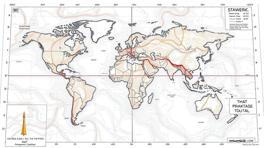
Interpreting Lines and Arcs on Maps That Indicate Digging Depths
Understanding the Representation of Digging Depths through Lines and Arcs on Maps
Interpreting maps that illustrate digging depths is a vital skill across various fields such as archaeology, civil engineering, and geology. This article explores how lines and arcs signify specific digging depths, the methodology behind their representation, and their application in real-world scenarios. By delving into visual interpretations and employing empirical examples, we will equip readers with the necessary knowledge to extract meaningful insights from these maps.
The Basics of Mapping Digging Depths
Maps use a combination of lines and arcs to convey complex geological information. e graphical elements function as a universal language, conveying depth without requiring extensive textual description.
Lines typically represent depth contours, while arcs may illustrate changes in depth across a geographic area. Understanding this representation is essential for various stakeholders involved in excavation and construction projects.
Types of Lines and Their Meanings
In mapping, several types of lines are utilized to indicate digging depths. Below are the fundamental types:
- Contour Lines: These continuous lines connect points of equal depth on the map, allowing users to visualize how depth changes across a landscape. For example, a line might indicate a depth of 10 feet below the surface.
- Index Contours: These are bolded or differently colored lines marking significant depth increments (e.g., every 10 feet). They serve as a reference point and make it easier to read the map.
Interpreting these lines involves recognizing the intervals between them. A closer spacing of lines indicates a steeper gradient, while wider spacing signifies a more gentle slope in depth.
Understanding Arcs and Their Role
Arcs on depth maps serve as a complementary visual cue to contour lines. can signify areas of transition between different digging depths or indicate a layering effect. For example:
- Circular Arcs: Often represent the boundary of a significant geological feature, such as an underground cavern or well. The positioning and curvature of the arc inform spectators about depth changes and potential excavation challenges.
- Partially Open Arcs: These can indicate a zone where excavation is optimally viable due to consistent depth.
By examining arcs in conjunction with lines, users can form a more comprehensive picture of subsurface conditions.
Case Study: Archaeological Excavation
A prominent example of interpreting digging depths can be seen in archaeological projects. During an excavation at an ancient site, the research team employed maps with depth indicators to plan their digging strategy.
The contour lines highlighted areas of potential structures buried at varying depths, allowing archaeologists to prioritize excavation areas. For example, lines indicating a depth of 5 feet were targeted first, revealing the remains of a 3rd-century habitation. The use of arcs indicated another site that possessed even deeper structures, further aiding the team’s excavation efforts.
Real-World Applications and Importance
The ability to interpret maps delineating digging depths has far-reaching implications beyond just archaeology:
- Civil Engineering: Engineers use depth maps for site assessment before construction. evaluate subsurface conditions to avoid issues such as flooding or structural instability.
- Mining: Mining companies utilize these maps to locate mineral deposits, ensuring efficient extraction processes while minimizing the environmental impact.
- Urban Planning: City planners incorporate digging depth data to strategize placements for utilities such as sewer systems, ensuring functionality and sustainability.
These applications underline the significance of mastering map interpretation as a critical skill for professionals in multiple domains.
Challenges and Considerations
While understanding digging depth maps is beneficial, several challenges persist:
- Data Accuracy: The reliability of the depicted depths depends on the quality of survey data. Erroneous surveying can lead to misleading maps.
- Interpretation Variations: Different users may interpret the same map differently based on their experiences, making initial discussions critical prior to actual digging.
Addressing these considerations involves ongoing training and utilizing enhanced mapping technologies that aid in data accuracy.
Conclusion: Mastering Map Interpretation for Effective Digging
To wrap up, interpreting lines and arcs on maps that indicate digging depths is an essential skill across various fields. By understanding how these graphical elements operate, professionals can make informed decisions that guide their excavation efforts.
Moving forward, continual dedication to learning both map reading and technical applications of this skill will enhance operational efficiency, minimize risks, and improve project outcomes across disciplines. Whether in archaeology, engineering, or urban planning, mastering the art of depth interpretation is invaluable.


