Techniques for Mapping Silver-Hosting Carbonate Veins in Arid Terrains
Techniques for Mapping Silver-Hosting Carbonate Veins in Arid Terrains
The exploration and extraction of silver from carbonate veins in arid terrains present unique challenges and opportunities for geologists and mining engineers alike. Understanding the composition and spatial distribution of these veins is crucial for effective resource management. Various mapping techniques have been developed and refined to address the complexities associated with these environments. This article explores the most effective methods for mapping silver-hosting carbonate veins, including geological surveys, remote sensing, and geochemical analysis.
Geological Surveys
Geological surveys form the backbone of resource exploration. They involve a detailed examination of rock formations, stratigraphy, and mineral content. In arid terrains where vegetation is sparse, surface geological mapping can be particularly effective.
- Outcrop Analysis: Direct observation of rock outcrops allows geologists to identify features such as mineralization, vein structures, and alterations. For example, in the Mojave Desert, geological mapping revealed the presence of extensive carbonate veins, which were later confirmed as silver-bearing through sampling.
- Field Sampling: Systematic sampling of rock outcrops can provide valuable data about silver concentrations and host rock types. Sampling at various depths can also yield insights into the vertical extent of mineralization.
Remote Sensing Techniques
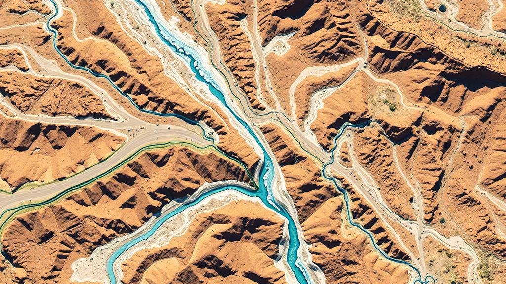
Remote sensing employs aerial or satellite imagery to gather data about land surface features. This approach is critical in arid terrains where accessibility can be limited. Several remote sensing methods can be effective for mapping silver-hosting carbonate veins.
- Multispectral Imaging: This technique captures images across different wavelengths to identify mineral signatures. For example, the use of satellite imagery in the Atacama Desert has allowed researchers to identify potential silver veins by focusing on the reflectance properties of carbonate minerals.
- LiDAR (Light Detection and Ranging): LiDAR technology can create high-resolution topographic maps that are useful for identifying surface features associated with carbonate veins. A case study in Nevada demonstrated how LiDAR helped delineate vein structures hidden beneath desert sands.
Geochemical Analysis
Geochemical methods provide a quantitative approach to mapping mineralization by analyzing the chemical composition of soil and rock samples. In arid regions, this technique can complement geological surveys and remote sensing.
- Soil Sampling: Collecting and analyzing soil samples can reveal the surface expression of buried veins. Elevated silver concentrations in soil samples can indicate nearby mineralization, prompting further investigation.
- Assaying Techniques: Advanced assaying methods, such as inductively coupled plasma mass spectrometry (ICP-MS), can detect trace levels of silver in sample material, providing a reliable measure of silver mineralization.
Integration of Techniques
While individual techniques offer distinct advantages, integrating multiple mapping approaches yields the best results in exploring silver-hosting carbonate veins. For example, combining geological survey data with remote sensing and geochemical analysis results in a more accurate and comprehensive understanding of the mineralization patterns.
In practice, a multi-disciplinary approach was taken in the exploration of the Silver Valley mining district in Idaho, where geological surveys highlighted surface features, remote sensing provided spatial context, and geochemical assays confirmed high silver content in subsurface carbonate veins.
Challenges and Considerations
Mapping silver-hosting carbonate veins in arid terrains is not without its challenges. Some key considerations include:
- Environmental Conditions: Sparse vegetation and extreme weather can limit accessibility and data collection. Planning fieldwork around seasonal weather patterns can mitigate these issues.
- Data Interpretation: Correctly interpreting geological, remote sensing, and geochemical data requires expertise and experience. Collaborating with interdisciplinary teams can enhance analytical accuracy and decision-making.
- Economic Viability: Understanding the economic framework of mining operations is essential. Factors such as market demand, extraction costs, and regulatory compliance must be integrated into exploration decisions.
Conclusion
Effective mapping of silver-hosting carbonate veins in arid terrains leverages a suite of techniques across geological surveys, remote sensing, and geochemical analysis. By understanding and applying these methods strategically, geologists can enhance the exploration process, ultimately leading to successful mining projects. Future advancements in technology and integration of data sources will further improve the accuracy and efficiency of these mapping endeavors.
For practitioners in the field, staying updated on emerging technologies and methodological advancements is crucial. Consider adopting a multi-disciplinary approach in your projects to optimize resource discovery and management efforts.


