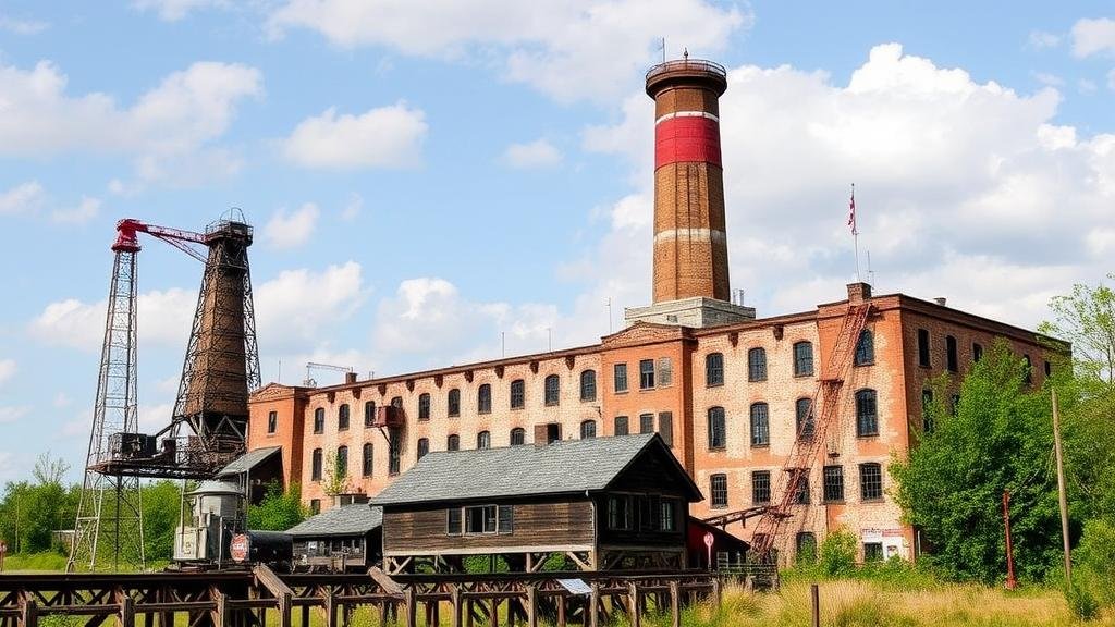
Mapping Historical Textile Mill Locations for Lost Industrial Artifacts
Mapping Historical Textile Mill Locations for Lost Industrial Artifacts
The textile industry played a significant role in shaping the economic landscape of various regions, particularly in the United States and Europe, during the Industrial Revolution. As industrialization progressed, numerous textile mills were established, becoming not just centers of production but also nodes of cultural and economic activities. This article explores the methodology of mapping historical textile mill locations to uncover and preserve lost industrial artifacts, highlighting the relevance of historical context, technological advances, and community engagement in this process.
The Importance of Historical Textile Mills
Textile mills revolutionized production techniques and contributed immensely to job creation and urban development. For example, the establishment of the Boston Manufacturing Company in Waltham, Massachusetts, in 1813 marked the inception of the American textile industry. By 1860, there were over 1,200 textile mills operational in New England alone, creating jobs for thousands and driving local economies.
Understanding the geographical distribution of these mills helps in identifying lost industrial artifacts that could provide insights into historical manufacturing processes, labor conditions, and social structures. Also, examining these locations can shed light on the evolution of industrial practices over time.
Methodology of Mapping
The mapping of historical textile mill locations involves several critical steps, including archival research, geospatial analysis, and community collaboration.
- Archival Research: This entails reviewing historical documents, maps, and photographs. Local libraries and state historical societies often maintain records that can reveal the locations and characteristics of former mills.
- Geospatial Analysis: Once data is collected, GIS (Geographic Information Systems) technology can be used to visualize mill locations on contemporary maps. This method allows researchers to analyze spatial relationships and identify patterns or trends over time.
- Community Collaboration: Engaging local historians, industrial archaeologists, and community members can provide additional perspectives, helping to ensure the accuracy of data and enhance the richness of narratives surrounding these locations.
Case Study: Massachusetts Textile Mills
The Commonwealth of Massachusetts serves as a prime example for studying the impact of textile mills. In the early 1800s, the area around Lowell emerged as a pivotal site for textile production. By 1840, Lowell boasted 32 mills, employing around 10,000 workers. These mills utilized water power from the Merrimack River, and their remnants are crucial for understanding the mechanics of the American Industrial Revolution.
Recent efforts to map these locations have involved extensive fieldwork, supplemented by digital reconstructions based on historical blueprints and other archival materials. Tools such as ArcGIS have facilitated the layering of historical maps with existing infrastructure, revealing both the transformation of the landscape and the potential for archaeological investigation.
Preservation of Industrial Artifacts
The documentation and mapping of textile mill locations not only help to uncover past industrial practices but also play a vital role in the preservation of artifacts associated with these sites. Artifacts, including machinery, tools, and personal items of workers, can provide invaluable insights into daily life and technical practices of the era.
For example, the remnants of the Merrimack Manufacturing Company in Lowell have led to the preservation of spinning frames, looms, and other machinery that are now displayed at the Boott Cotton Mills Museum. Such efforts underscore the need for coordinated action among historians, archaeologists, and local governments.
Real-World Applications and Actionable Takeaways
The mapping of historical textile mills is not merely an academic endeavor; it has real-world implications for education, tourism, and community identity. By uncovering and showcasing regional industrial heritage, communities can foster a sense of pride and awareness of their historical significance.
- Educational Programs: Schools can implement programs that educate students about local industrial history through field trips and hands-on projects, involving local historians to provide context.
- Tourism Development: Local governments can promote mapped sites as tourism attractions, generating economic benefits while instilling a sense of historical appreciation.
- Community Engagement: Involving the community in preservation efforts can foster a shared sense of ownership and responsibility towards local history.
Conclusion
Mapping historical textile mill locations is a multidimensional process that combines research, technology, and community engagement. As we continue to unearth and preserve our industrial heritage, the insights gained will contribute significantly to our understanding of the past and its implications for our present and future identities. Enhanced collaboration between scholars, local governments, and citizens is essential to fully realize the potential of these lost industrial artifacts.


