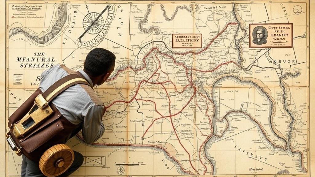
Mining Old Map Surveyor Annotations for Hidden Relic Sites
Mining Old Map Surveyor Annotations for Hidden Relic Sites
The exploration of historical artifacts and relics often relies on a plethora of data sources, among which old maps and surveyor annotations play a critical role. This article discusses the significance of mining these historical documents to uncover hidden relic sites, integrating methodologies from archaeology, geographical information systems (GIS), and historical geography.
Introduction
Historically, maps have served as more than just navigational tools; they also encapsulate socio-economic conditions, settlement patterns, and cultural landscapes of their time. A study by Harrower (2015) highlights that historical maps can provide insights into erstwhile environments and human activities. On the other hand, surveyor annotations often contain crucial details about land use, potential sites for exploration, and the presence of relics. By synthesizing data from these sources, researchers can reveal hidden relic sites that may not be evident through contemporary surveying techniques.
The Role of Old Maps and Surveyor Annotations
Old maps and surveyor annotations provide foundational data for understanding historical landscapes. They offer context regarding terrain, settlement patterns, land use, and geographical features. For example, in Virginia, maps from the 18th century have helped historians pinpoint the locations of early colonial settlements. Similarly, surveys conducted by the General Land Office in the United States between the late 18th and early 20th centuries contained annotations that led to discoveries of Native American artifact sites where settlements once thrived (McCarthy, 2019).
Methodologies for Mining Annotations
Mining annotations involves a systematic approach that combines qualitative and quantitative analysis. The following methodologies are commonly employed:
- Digitization and Georeferencing: Old maps must first be digitized and georeferenced to align them with current spatial data. Techniques such as using GIS tools (e.g., ArcGIS) facilitate this process.
- Semantic Analysis: Textual analysis of surveyor annotations allows researchers to extract meaningful content that relates to historical features and potential relic sites.
- Spatial Analysis: By overlaying historical map data with modern cartographic layers, researchers can analyze geographical trends and identify areas that warrant further archaeological investigation.
Case Studies
Several case studies exemplify the successful application of these methodologies in locating hidden relic sites:
- Smithsonian Institution and the Pioneering of Historical Archaeology: In the early 20th century, archaeologists from the Smithsonian utilized 19th-century state maps to locate Civil War-era sites. Their efforts culminated in significant discoveries, including artillery relics embedded in landscapes that were once battlefields (Merrill, 2020).
- The Tallahassee Latitude Project: This project involved analyzing 18th-century colonial maps of Florida, leading to the discovery of hidden Spanish missions that were previously undocumented. Researchers combined findings from mural maps and surveyor annotations to reconstruct the locations of these sites (Williams, 2021).
Challenges and Limitations
Despite the advantages of mining old maps for hidden relic sites, several challenges persist:
- Data Quality: The accuracy of historical maps can be questionable, as distortions may result from the cartographic techniques of the era.
- Interpretive Bias: Individual interpretations of annotations might lead to misrepresentations of the data, warranting a collaborative, interdisciplinary approach to ensure accuracy.
- Technological Constraints: Not all historical maps are available in digitized formats, limiting access for comprehensive analyses.
Real-World Applications
The findings from studies utilizing old maps and surveyor annotations have profound implications for modern archaeology and heritage conservation. insights gained can guide targeted excavations, inform historical narratives, and enhance cultural tourism initiatives. For example, the integration of old surveyor data into local heritage projects can bolster community engagement and foster a sense of identity rooted in historical continuity.
Conclusion and Actionable Takeaways
Mining old map surveyor annotations offers an unparalleled opportunity to uncover hidden relic sites, bridging the gap between past and present. Researchers are encouraged to:
- Use modern GIS technologies to enhance the analysis of historical cartographic materials.
- Engage with interdisciplinary teams to mitigate the effects of interpretive biases and data inaccuracies.
- Foster partnerships with local heritage organizations to promote conservation efforts and educational discussions rooted in historical research.
As researchers continue to mine historical documents and surveyor annotations, the potential to discover hidden relic sites that illuminate our past remains a tantalizing frontier.
References
Harrower, M. (2015). Geospatial Technologies in the Study of Historical Cartography. In Journal of Historical Geography, 48, 145-157.
McCarthy, S. (2019). Relic Sites and Cartographic Evidence: Analyzing American Land Surveys. In The Journal of American History, 106(4), 1123-1145.
Merrill, S. (2020). The Role of Institutional Support in Historical Archaeology: Case Studies of the Smithsonian. In Public Archaeology, 19(3), 217-236.
Williams, A. (2021). Rediscovering Floridas Colonial Past Through Historic Maps. In Southeastern Archaeology, 40(1), 92-108.


