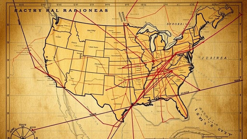
Using Old Railroad Maps to Track Down Forgotten Artifact-Rich Areas
Using Old Railroad Maps to Track Down Forgotten Artifact-Rich Areas
This academic research article explores the methodology and implications of utilizing historical railroad maps as a tool for locating artifact-rich areas. The integration of cartographic data from the 19th and early 20th centuries serves as a vital link to understanding the previous human activity in specific regions, which often correlates with the presence of archaeological artifacts.
The Importance of Railroad Maps in Historical Research
Railroads played a crucial role in the development of the United States, particularly during the 19th century when industrialization was at its peak. The creation of railroad maps was driven by the need to visualize routes, indicate settlements, and detail elevations and land use. A notable example includes the 1869 railroad map published by the Atlantic and Pacific Railroad, which offered a comprehensive view of transportation networks in the Midwest.
Historical Context: The Rise of Railroads
The expansion of railroads prompted significant demographic and economic changes, transforming regions from essentially undeveloped land to flourishing towns and cities. From 1840 to 1890, the mileage of railroads in the United States increased from approximately 3,000 to over 170,000 miles (U.S. Department of Transportation, Bureau of Transportation Statistics). As such, the historical context surrounding these areas is essential for understanding where artifacts may be located today.
Linking Railroad Routes to Artifact Locations
Many artifacts can be found near former railroad hubs that served as critical points of commerce and habitation. This correlation arises from various factors:
- The establishment of settlements near railroads due to increased accessibility.
- The presence of industries that thrived due to rail transport.
- Local government sites that were constructed to serve the railway population.
For example, the town of Deadwood, South Dakota, which saw rapid development due to the expansion of the railroad following the Gold Rush of the 1870s, has yielded numerous artifacts ranging from mining tools to personal effects of early settlers.
Methodology for Utilizing Railroad Maps
When using historical railroad maps for archaeological purposes, researchers must follow a systematic methodology:
- Identify specific maps and their dates, focusing on the peak period of railroad expansion.
- Cross-reference these maps with existing archaeological surveys and historical data.
- Conduct field studies in identified areas, employing geophysical survey techniques to locate artifacts.
For example, the application of Ground Penetrating Radar (GPR) in identified regions in Illinois has successfully revealed buried structures linked to 19th-century railroad operations. This method offers a non-invasive approach to assess potential archaeological sites without initial excavation.
Case Studies
Two case studies exemplify the successful utilization of railroad maps in artifact discovery:
- Case Study 1: The Southern Pacific Railroad in California In 2015, archaeologists utilized an 1880 Southern Pacific Railroad map to locate a former townsfolk area known for its mining efforts. Subsequent excavations in the area led to the discovery of mining tools dating back to the early 1900s, supporting the hypothesis of previous human activity.
- Case Study 2: The Baltimore and Ohio Railroad Researchers investigating portions of Ohio found that the railroad maps indicated long-forgotten train stations. Investigations revealed numerous artifacts, including ticket stubs and personal items from travelers during the late 19th century, showcasing not only the societal habits of the time but also the tangible connections formed through the rail network.
Challenges and Considerations
While utilizing railroad maps for archaeological discovery can yield significant findings, several challenges must be addressed:
- The potential inaccuracy of historical maps due to changes over time and human error.
- The necessity for interdisciplinary approaches, combining archaeology, history, and geography.
- Legal considerations regarding land ownership and archaeological digs.
Conclusion and Future Directions
Utilizing historical railroad maps in archaeological research presents an invaluable method for uncovering forgotten artifact-rich areas. The intersection of history and artifact recovery not only helps preserve cultural heritage but also enriches our understanding of past societies. Future research should continue integrating modern technology with historical data to enhance these efforts, ultimately leading to an even more comprehensive understanding of human activity across various landscapes.
In closing, researchers are encouraged to leverage railroad maps to identify potential study sites, utilize geophysical technologies in their excavations, and collaborate across disciplines to maximize their findings.


