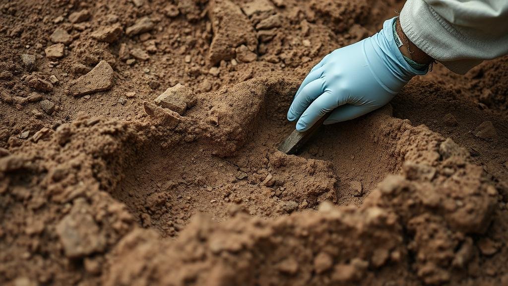
Detecting in Archaeological Dig Sites: Precision Techniques for Layered Soil
Detecting in Archaeological Dig Sites: Precision Techniques for Layered Soil
The field of archaeology relies heavily on the accurate detection and interpretation of layered soils to uncover artifacts and structures that reveal insights into past human behavior. Precision techniques in archaeological excavation are crucial for maintaining the integrity of a site and ensuring that findings are correctly contextualized. This article presents an overview of the methods employed for soil detection at archaeological dig sites, emphasizing their importance, technological advancements, and practical applications.
The Importance of Layered Soil Detection
Understanding the stratigraphy of a dig site–essentially the study of layers of soil–provides archaeologists with significant context about the chronology of human activity in the area. Each layer may contain different artifacts, organic materials, or residue indicative of various periods of occupation. Accurate detection of these layers allows for proper excavation strategies that prevent the mixing of artifacts from different times and helps in reconstructing the historical narrative of a site.
Common Techniques for Soil Detection
- Visual Inspection and Profiling: Visual inspection is the first step in detecting soil layers. Profiling involves examining the wall of an excavation trench to identify color changes, texture differences, and variations in soil composition.
- Soil Sampling: Soil sampling provides physical specimens that allow for laboratory analysis. Techniques like soil core sampling can reveal the composition and stratification of soils in different layers.
- Geophysical Methods: Techniques such as ground-penetrating radar (GPR) and electrical resistivity can non-invasively detect subsurface features, providing a map of potential archaeological layers without disturbing the soil.
Technological Advances in Soil Detection
Advancements in technology have transformed archaeological digs, allowing for precision detection of layered soils. For example, ground-penetrating radar (GPR) emits radar pulses and measures the reflected signals, enabling archaeologists to visualize buried structures and stratigraphy up to several meters underground. A case study from the ancient Roman town of Pompeii utilized GPR to map out buried buildings accurately, reducing the need for extensive excavation and preserving the site integrity.
Also, drones equipped with multispectral imaging capabilities employed to analyze soil composition over larger areas. e drones can detect variations in vegetation growth, which may correlate with underlying archaeological features, providing a comprehensive overview of a site and guiding excavation efforts.
Case Studies: Successful Applications
Several recent case studies illustrate the effective application of precision techniques in layered soil detection. One example is the excavation of a prehistoric site in the UK known as Larkhill. Geophysical surveys using magnetometry and GPR allowed researchers to identify multiple archaeological features, including burial mounds and ancient structures, leading to a more organized excavation process.
Another notable example can be found in the ruins of Machu Picchu, where archaeologists applied soil stratigraphy analysis combined with photogrammetry to accurately date layers of soil and artifacts. This technique revealed information about agricultural practices and settlement patterns over time, ultimately enhancing our understanding of Inca civilization.
Challenges and Considerations
While advancements in detection techniques have significantly improved archaeological practices, challenges remain. Soil composition variability can affect the efficacy of geophysical methods, making it imperative for archaeologists to combine several techniques to obtain the best results. Also, the preservation of a sites integrity must always be a priority–over-excitation during preliminary surveys can lead to disturbances that compromise the findings.
- Environmental Factors: Soil moisture levels, compaction, and vegetation can all impact detection accuracy, necessitating adaptations to strategies based on site-specific conditions.
- Inter-disciplinary Collaboration: Combining expertise from geologists, geophysicists, and archaeologists can yield more comprehensive approaches to soil detection and excavation.
Conclusion and Actionable Takeaways
Detecting layered soils in archaeological digs is an intricate process essential for uncovering the past. By employing a combination of traditional and modern techniques, archaeologists can achieve a higher level of precision in their excavations. As technology continues to evolve, integrating interdisciplinary approaches will enhance the effectiveness of these practices, ensuring archaeological methods remain robust and relevant.
In practice, archaeological teams should prioritize:
- Employing a range of detection techniques to adapt to site-specific conditions.
- Documenting stratigraphy thoughtfully and thoroughly to preserve the context of artifacts.
- Fostering collaboration among experts from various disciplines to enhance excavation strategies.
By adhering to these practices, archaeologists can not only protect the sites they work on but also contribute to a richer understanding of human history.


