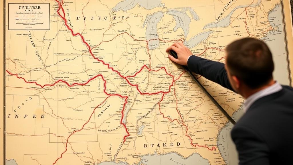
Tracing Civil War Supply Lines Using National Archive Military Maps
Tracing Civil War Supply Lines Using National Archive Military Maps
The American Civil War (1861-1865) is a pivotal period in U.S. history, marked by significant military strategy and logistics. Understanding the supply lines utilized during this conflict provides illumination into the wars outcomes and the strategic decisions that shaped the course of American history. National Archive military maps have proven invaluable in tracing these supply lines, revealing not only routes but also the logistical challenges faced by both the Union and the Confederacy.
Overview of Supply Lines in the Civil War
Supply lines during the Civil War were crucial for maintaining troop morale, ensuring adequate provisions, and facilitating military operations. Each side employed distinct strategies regarding the acquisition and transportation of resources, which greatly influenced their operational capabilities. The Union, with its industrial advantages, generally faced fewer challenges in maintaining supply lines compared to the Confederacy, which often struggled with resource scarcity.
The Role of National Archive Military Maps
National Archive military maps serve as primary source documents that provide critical insights into the logistical frameworks of the Civil War. e maps outline troop movements, supply routes, and geographical obstacles, allowing historians to analyze how supply lines were established and maintained. Important maps, such as those created by the United States Army Corps of Engineers and the various military divisions during the war, detail the strategic importance of rivers, railroads, and roads.
Case Study: The Anaconda Plan
One of the most effective Union strategies was the Anaconda Plan, launched in 1861 under General Winfield Scott. This plan aimed to suffocate the Confederate economy by blockading southern ports and controlling the Mississippi River. success of this strategy hinged on well-planned supply lines, extensively mapped out in military documents.
- The blockade initially reduced imports and exports significantly, with estimates showing a 90% decrease in trade for the Confederacy by 1862.
- By controlling the Mississippi, Union forces fragmented Confederate territory, facilitating easier supply routes to Union armies in the West.
Maps from the National Archives indicate key locations of fortifications and naval blockades, providing evidence of how the Unions strategic mapping and logistical planning contributed to their success.
Logistical Challenges Faced by the Confederacy
In contrast, the Confederacy faced severe logistical challenges, primarily due to its limited railroad network and the Unions naval superiority. Analysis of military maps reveals that while the Confederate territory had a vast landscape, it lacked the necessary infrastructure to support large-scale troop movements and supply lines effectively.
- For example, shortages of basic supplies such as food and ammunition often hampered Confederate forces. The Confederate Armys reliance on local resources made them vulnerable during long campaigns.
- Pedro G. Mendez, in his research, highlighted that in the winter of 1863, troop desertions increased due to inadequate supplies, with some estimates suggesting desertion rates reached as high as 40% during poorly supplied campaigns.
Technological Innovations and Their Impact on Supply Lines
Both the Union and Confederacy employed various technological innovations to improve their supply efficiency. The development of the railroad played a critical role in transporting troops and supplies more quickly than ever before. The National Archives holds numerous maps illustrating the expansion of rail networks throughout the war.
- By 1865, the Union operated approximately 22,000 miles of railroad tracks, significantly aiding their logistical capabilities.
- On the other hand, the Confederacy managed only about 9,000 miles of usable rail track, limiting their ability to support troops effectively.
Maps showcasing the railroad systems reveal not just physical routes but also strategic choke points and supply depots, underscoring the disparities that influenced battle outcomes.
Conclusion: The Importance of Military Mapping in Historical Analysis
The study of supply lines through National Archive military maps offers profound insights into the logistical complexities of the Civil War. Understanding these supply routes enables historians to grasp how they shaped military strategies and ultimately influenced the wars outcome. The effective mapping and utilization of resources distinctly favored the Union, showcasing how logistics can decisively impact warfare.
As historians continue to explore these archives, new insights into the strategic significance of supply lines will emerge, enhancing our comprehension of the Civil War and its historical consequences. Future research should focus on the integration of Geographic Information Systems (GIS) technology with historical maps to further analyze the impact of supply lines on military outcomes.


