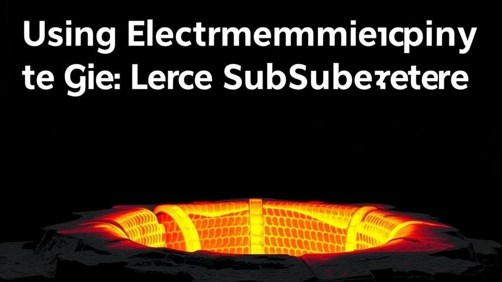
Using Electromagnetic Imaging to Detect Large Subsurface Cavities or Chambers
Understanding Electromagnetic Imaging
Electromagnetic imaging (EMI) is a non-invasive geophysical method utilized to detect subsurface features through the generation and analysis of electromagnetic fields. This technology has gained traction due to its effectiveness in locating large subsurface cavities or chambers, which can pose significant risks in areas such as mining, construction, and environmental monitoring. By leveraging variations in electromagnetic properties, EMI can provide critical information about subsurface conditions.
Theoretical Foundations of Electromagnetic Imaging
At its core, EMI operates on the principles of electromagnetism, where alternating current generates electromagnetic fields that interact with the ground. This interaction allows for the measurement of electrical resistivity and conductivity of subsurface materials. When applied in regions with cavities, the disturbance in the electromagnetic field can be detected, revealing anomalies indicative of voids.
The technique relies on the different electrical properties of materials; for instance, air-filled cavities have a significantly higher resistivity compared to surrounding saturated soils or rocks. By understanding these contrasts, EMI effectively maps out subsurface structures.
Case Studies in EMI Applications
Numerous studies demonstrate the practical applications of electromagnetic imaging in detecting subsurface cavities. One notable example is the successful identification of sinkholes in Florida, where EMI was employed to delineate the boundaries of vulnerable areas effectively.
Case Study 1: Sinkhole Detection in Florida
In several instances, Florida has leveraged EMI to monitor and detect the presence of sinkholes, which can directly endanger infrastructure and human safety. By conducting a geophysical survey using EMI, researchers were able to map subsurface anomalies to identify potential sinkhole locations with a high degree of accuracy. This proactive detection has been crucial for local governments in terms of improving safety measures and urban planning.
Case Study 2: Cavern Detection in Mining Operations
Another compelling application of EMI was documented in mining operations in Utah, where the method was utilized to locate underground chambers that posed risks to extraction activities. EMI surveys revealed extensive voids, enabling mining companies to plan more effective extraction strategies while minimizing the risk of collapse and optimizing resource recovery.
Advantages of Electromagnetic Imaging
The use of electromagnetic imaging presents numerous advantages for detecting subsurface cavities:
- Non-destructive: EMI is a non-invasive technique, allowing for the assessment of subsurface features without disturbing the ground surface.
- High Resolution: The method provides high-resolution images of subsurface structures which enhances our understanding of spatial dimensions and relationships.
- Rapid Data Acquisition: EMI surveys can collect data quickly, making them ideal for time-sensitive projects such as disaster response.
Challenges and Limitations
While EMI is a powerful tool, it is essential to recognize its limitations. The effectiveness of EMI can be influenced by environmental conditions, such as soil moisture and temperature, which may affect the conductivity of materials being examined. High levels of electrical noise from urban environments can also interfere with the accuracy of readings, necessitating careful consideration of survey environments.
Future Directions and Innovations
Advancements in technology continue to enhance the capabilities of electromagnetic imaging. integration of machine learning algorithms for data analysis is a promising area, potentially improving the accuracy of void detection and anomaly interpretation. Also, expanding the use of combined geophysical methods–such as integrating EMI with ground-penetrating radar (GPR)–may yield more comprehensive subsurface maps.
Actionable Takeaways
For practitioners in the field, the implementation of electromagnetic imaging can significantly improve the detection of large subsurface cavities. Key steps include:
- Conducting thorough environmental assessments to choose optimal survey conditions.
- Combining EMI with other geophysical methods to enhance detection capabilities.
- Training personnel in advanced data interpretation techniques to fully leverage the insights gained from EMI surveys.
To wrap up, electromagnetic imaging stands as a transformative approach for the detection of subsurface cavities. With continued development and integration of new technologies, EMI will remain a pivotal component in geophysical exploration and risk management.


