Mapping Deforested Areas for Exposed Relics and Geological Finds
Mapping Deforested Areas for Exposed Relics and Geological Finds
The phenomenon of deforestation has emerged as a critical environmental issue that impacts biodiversity and climate, while simultaneously revealing hidden archaeological and geological relics beneath the canopy. This research article aims to explore the methodologies, implications, and findings of mapping deforested areas for these previously obscured resources. The specific case studies of the Amazon rainforest and the forests of Southeast Asia will be highlighted to underscore the significance of this endeavor.
Introduction
Deforestation, defined as the large-scale removal of trees from forested areas, has reached unprecedented levels in recent decades. According to the Food and Agriculture Organization (FAO), approximately 10 million hectares of forest were lost annually from 2015 to 2020, largely due to agricultural expansion, logging, and urbanization. While this loss poses significant risks to biodiversity and ecosystems, it concurrently exposes archaeological sites and geological formations that have remained hidden for centuries.
Importance of Mapping Deforested Areas
Mapping deforested areas is crucial not only for environmental conservation efforts but also for archaeological and geological studies. Deforestation can uncover:
- Archaeological sites related to ancient civilizations.
- Fossilized remains that offer insights into past climates and biological diversity.
- Geological formations that may contain mineral resources.
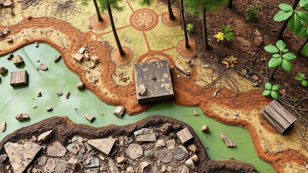
For example, the deforestation of the Amazon rainforest has revealed numerous geoglyphs, which are large geometric designs etched into the ground. Research conducted by the University of Exeter in 2018 confirmed that these geoglyphs, dated to be over 2,000 years old, were previously hidden under dense foliage.
Technological Methodologies for Mapping
Advanced technologies play a pivotal role in mapping deforested areas. Techniques such as remote sensing, Geographic Information Systems (GIS), and LiDAR (Light Detection and Ranging) have transformed the ability to gather data and visualize these areas accurately.
- Remote Sensing: Satellites equipped with sensors can capture data on deforestation rates and changes in land use. NASAs Landsat program, for instance, has been operational since 1972 and provides continuous monitoring of forest cover.
- GIS: GIS software aids in analyzing spatial data, allowing researchers to layer information about deforestation rates with archaeological data, thereby identifying potential sites for excavation.
- LiDAR: This airborne laser scanning method can penetrate forest canopies, revealing the ground surface features and providing high-resolution maps of terrain. LiDAR has proven invaluable in uncovering hidden structures in dense rainforests.
Case Studies
The Amazon Basin
The Amazon Basin, a region heavily impacted by deforestation, serves as an exemplary case study. Studies carried out by the Amazon Geo-Referenced Socio-Environmental Information Network (RAISG) have shown that between 2000 and 2020, Brazil experienced significant forest loss, reducing tree cover by 25%. This loss allows for the exposure of ancient settlements such as those found by archaeologists in Acre state, where complex circular earthworks were uncovered.
Southeast Asia
Southeast Asia possesses a rich tapestry of biodiversity and a wealth of archaeological history. Research in countries like Indonesia and Malaysia has shown that the clearing of forests for palm oil plantations has uncovered burial sites, ancient pottery, and tools. The excavation of the Liang Bua cave in Flores, Indonesia, revealed fossil remains of Homo floresiensis, a species that lived around 100,000 years ago, highlighting the intersection of natural resource exploitation and archaeological discovery.
Challenges and Considerations
Despite the potential for discovery, there are significant challenges associated with mapping deforested areas. These challenges include:
- Legislative Hurdles: Many regions lack adequate protection laws for archaeological sites, exposing them to looting and destruction.
- Environmental Concerns: The act of mapping and excavating can further harm fragile ecosystems already under stress from deforestation.
- Ethical Implications: The discovery of relics raises questions about ownership and the appropriate measures for preservation versus the necessity of resource extraction.
Conclusion
Mapping deforested areas for exposed relics and geological finds presents a dual opportunity to uncover our past while addressing pressing environmental issues. While advanced technologies offer exciting avenues for discovery, it is essential to approach this intersection with caution, ensuring that conservation efforts balance the preservation of archaeological heritage with ecological stability.
Future research must continue to refine mapping techniques and formulate effective strategies for protecting these invaluable resources. Stakeholders, including governments, researchers, and local communities, must work collaboratively to establish frameworks that permit responsible exploration of deforested zones.
Actionable Takeaways
- Leverage advanced technologies, such as GIS and LiDAR, for effective mapping of deforested areas.
- Collaborate with local authorities and communities to safeguard archaeological sites from exploitation.
- Advocate for and develop stronger legislative protections for cultural and historical resources.
- Engage in interdisciplinary research that includes environmental scientists, archaeologists, and geologists to enrich understanding and conservation efforts.
Through a balanced approach that respects both our natural heritage and archaeological treasures, we have the potential to create a more sustainable future while enhancing our understanding of human history.


