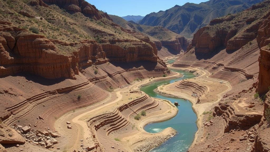
Identifying Ancient Riverbeds Buried Beneath Overburden
Identifying Ancient Riverbeds Buried Beneath Overburden
Identifying ancient riverbeds that have been buried beneath layers of overburden presents a unique challenge in geological and archaeological studies. Understanding the processes that led to their burial, as well as the tools and techniques used to locate them, can provide valuable insights into historical landscape evolution, climate change, and human activity.
The Importance of Ancient Riverbeds
Ancient riverbeds serve as critical archives of environmental history. They can contain sediment that reveals information about past climates, vegetation, and hydrology. Also, these areas are often rich in paleontological and archaeological artifacts, offering clues about early human settlement patterns. For example, the Thames River in London has provided evidence of human habitation dating back to prehistoric times, particularly through its buried riverbanks.
Understanding Overburden
Overburden refers to the layers of soil and rock that lie above a resource of interest, such as an ancient riverbed. This material can complicate the identification of submerged geological features. thickness and composition of overburden can vary greatly depending on factors such as local geology, erosion rates, and sediment deposition. For example, areas near glacial deposits often have thick layers of overburden compared to more arid regions.
Methods of Identification
Several techniques can be employed to locate ancient riverbeds buried beneath overburden, each with distinct advantages and considerations:
- Geophysical Surveys: Techniques such as Ground Penetrating Radar (GPR), Electrical Resistivity Tomography (ERT), and seismic reflection surveying can help map subsurface features. GPR is particularly effective in identifying changes in materials and structures beneath the surface.
- Satellite Imagery and Aerial Photography: Remote sensing technologies can decode surface patterns indicative of ancient rivers. use of LiDAR (Light Detection and Ranging) enhances the capability to visualize topographical changes that may hint at buried river systems.
- Soil Sampling and Stratigraphy: Analyzing soil samples and understanding stratigraphic layers can reveal the history of sedimentation and might indicate the presence of former riverbeds.
Case Studies
Several case studies illustrate successful identification of buried ancient riverbeds:
- The Mississippi River: Geophysical surveys have uncovered ancient river channels buried beneath the current floodplain, revealing insights into the rivers dynamic past and its influence on regional ecosystems.
- The Amazon River Basin: Remote sensing has been deployed to uncover old river courses that once supported human settlements, demonstrating how communities adapted to changing waterways over millennia.
The Role of Climate Change
Climate plays a vital role in shaping river systems and, consequently, the deposition of overburden. Climate events can cause erosion or sedimentation shifts that bury existing riverbeds. For example, during the last Ice Age, glacial meltwater dramatically altered river courses and deposited significant overburden that can still obscure ancient waterways today.
Challenges and Limitations
While various methods exist to identify ancient riverbeds, there are challenges and limitations associated with each:
- Inconsistent data quality from remote sensing can lead to misinterpretation of surface features.
- Geophysical surveys can be expensive and require specialized equipment that may not always yield clear results.
- Environmental conditions, such as water saturation in soil, can limit the effectiveness of certain techniques like GPR.
Actionable Takeaways
To wrap up, identifying ancient riverbeds buried beneath overburden is a multifaceted endeavor that combines various scientific disciplines. application of cutting-edge technology and interdisciplinary approaches can significantly enhance our understanding of historical landscapes. For researchers and professionals in the field, prioritizing ongoing training in geophysical methods and remote sensing technologies, along with collaboration across specialties, will streamline the process of uncovering these hidden archaeological treasures.


