The Untold Value of NOAA’s Digital Coast Data for Artifact Research
The Untold Value of NOAA’s Digital Coast Data for Artifact Research
The National Oceanic and Atmospheric Administration (NOAA) has long been recognized for its crucial role in promoting and protecting the coastal and oceanic regions of the United States. Among its various initiatives, the Digital Coast program stands out as a comprehensive repository of geospatial data that can significantly enhance artifact research. This article assesses the untapped value of this data, emphasizing its implications for historical and archaeological studies.
Understanding NOAA’s Digital Coast Data
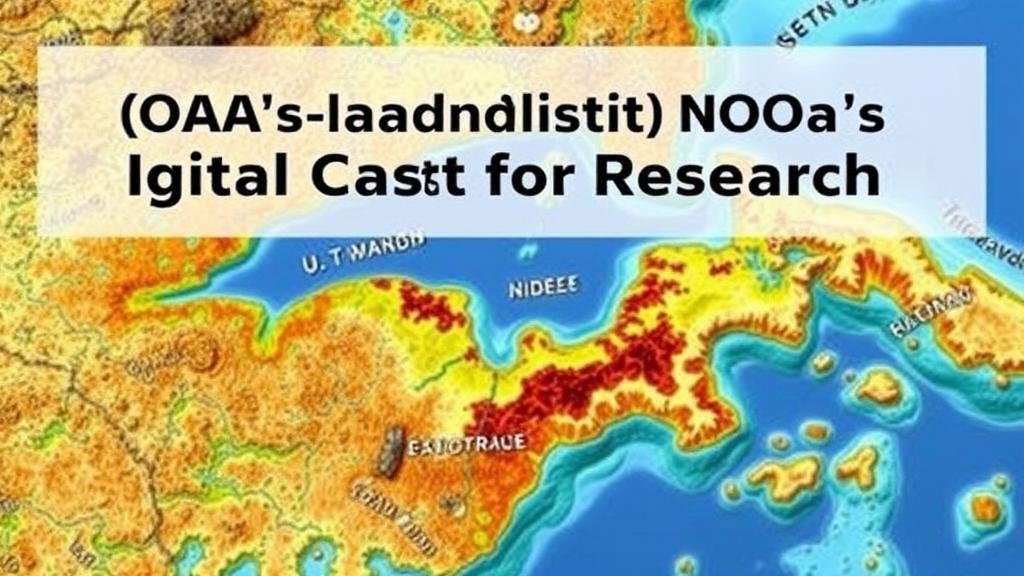
The Digital Coast program, launched in the early 2000s, aims to provide coastal resource managers with access to high-quality, reliable geospatial data. As of 2023, the repository includes a multitude of datasets ranging from satellite imagery to tidal information. This data serves not only environmental managers but also a broader spectrum of researchers engaged in uncovering historical artifacts, particularly in coastal regions.
Importance of Geospatial Data in Artifact Research
Geospatial data is paramount in artifact research as it provides a context for interpreting findings. Utilizing geographic information systems (GIS), researchers can analyze the spatial relationships of artifacts in relation to their environment. For example, data from NOAA can illuminate aspects such as past sea-level changes, coastal erosion, and sediment transport, which are crucial for understanding human activity and settlement patterns.
Case Study: The Archaeological Sites of the Outer Banks
The Outer Banks of North Carolina serves as an illustrative case study in the applicability of NOAA’s Digital Coast data for artifact research. Significant shipwrecks, including the Queen Anne’s Revenge, have been uncovered here. By leveraging NOAAs high-resolution topography and bathymetry, researchers can better understand the undercurrents and changing landscape that affected navigation and trade routes in the 18th century.
- In 2011, a study revealed how rising sea levels over the past century have prompted the relocation of several cultural sites, affecting historical interpretations.
- Using NOAA data, archaeologists were able to identify potential new excavation sites by analyzing sediment deposits in conjunction with existing land-use data.
Data Utilization: Methods and Techniques
Research employing NOAA’s Digital Coast data has increasingly adopted multiple methodologies to maximize the datas utility. Techniques such as multi-temporal analysis, remote sensing, and predictive modeling are among the most prevalent.
- Multi-Temporal Analysis: Researchers compare maps and satellite images over time to monitor coastal changes and identify patterns of artifact preservation.
- Remote Sensing: This technique allows for extensive data collection of large areas, enabling the identification of submerged cultural resources that would otherwise remain unnoticed.
Real-World Applications and Examples
The integration of NOAA data into artifact research has yielded significant outcomes. For example, the collaborative project between NOAA and the University of North Florida, initiated in 2020, has focused on mapping submerged sites linked to the early Spanish exploration of Florida. As of 2023, the project has successfully integrated more than 100 data layers, generating a comprehensive overview of potential archaeological sites.
Another instance is a project in the Gulf of Mexico that utilized NOAAs coastal change data to predict areas likely to reveal artifacts from sunken vessels. Studies following the findings have led to enhanced regulations regarding underwater cultural heritage, shaping permit policies in the region.
Challenges and Limitations
Despite its potential, the use of NOAA’s Digital Coast data in artifact research does face certain challenges. Issues related to data accessibility, user training, and integration with other datasets can hinder researchers. Also, the variability in data resolution can sometimes lead to inconclusive results.
- Accessing the data often requires familiarity with GIS tools, which can exclude researchers from non-technical backgrounds.
- Data may not always be comprehensive across all coastal regions, necessitating supplementary sources for thorough research.
Conclusion and Actionable Takeaways
The value of NOAAs Digital Coast data for artifact research cannot be overstated. By providing critical insights into geospatial contexts, this data enriches the understanding of historic and prehistoric human activity along the nation’s coastlines. Researchers, archaeologists, and historians should continue to fully harness this rich resource to inform their work.
To effectively leverage NOAA’s Digital Coast data, stakeholders are encouraged to:
- Foster interdisciplinary collaboration among geospatial scientists, historians, and archaeologists.
- Invest in training programs aimed at enhancing GIS literacy among researchers.
- Continuously advocate for the expansion and improvement of NOAAs datasets to cater to the evolving needs of artifact research.


